What is recorded here
Magic is not invention when measurement is refused. What resists killing may be life itself. This is why the chamber must remain sealed.
Enclosure described in 1943 as following; 'About one-third of the east side of this monument has been levelled out. It consists of a platform around the edge of which there was a bank. A fosse is not visible. The overall diameter is 200' [61m]' (O'Kelly 1942-3, 223). Outline of monument is visible today on Digital Globe aerial photographs.
Compiled by: Caimin O'Brien
Date of upload: 28 February 2020
The monument record does not grant public access. Check the route and ask the landowner before entering private land.
- What survives
- Recorded monument
Places near here
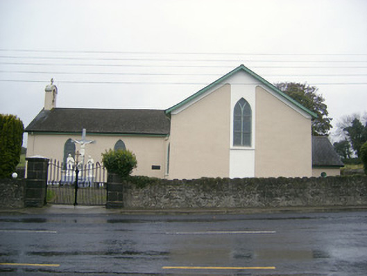 Catholic Church of Saint John the Baptistchurch/chapel · 486 yd
 Hachured - Externally indicatedFairy fort / earthen ringfort · 702 yd
 Partially hachuredEnclosure · 848 yd
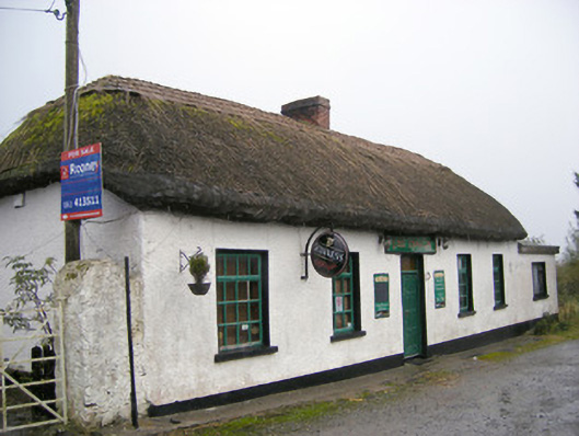 The Thatchhouse · 895 yd
 Dotted outlineBawn · 1.4 mi
 (Site of) Garryellen CastleCastle, unclassified · 1.4 mi
 Carnane RockNamed rock · 1.7 mi
 Villiers WellSpring · 1.8 mi
 Monasteranenagh AbbeyHeritage attraction · 2.9 mi
 Lough GurVisitor information · 3.6 mi
 European ashEuropean ash · 4.6 mi
 Biodiversity in the Maigue CatchmentVisitor information · 4.8 mi