What is recorded here
Magic and life entangle there. Study the facts already given. Clear the surrounding story and the visible place must fit one another.
In rough grazing land, on gentle SE-facing slope; ringfort (CO007-02701-) c. 14m to SW. Circular area (23.2m N-S; 20.3m E-W) enclosed by low wide earthen bank (ext. H 0.25m), mainly visible due to differential growth pattern; external fosse visible as shallow waterlogged ring surrounding bank. Entrance (Wth 4m) to SE. Further earthen banks lead off in a south easterly direction and may be remains of earlier field system.
The above description is derived from the published 'Archaeological Inventory of County Cork. Volume 4: North Cork' (Dublin: Stationery Office, 2000). In certain instances the entries have been revised and updated in the light of recent research.
Date of upload/revision: 14 January 2009
The monument record does not grant public access. Check the route and ask the landowner before entering private land.
- What survives
- Recorded monument
Places near here
 Fulacht FiadhFulacht fia · 513 yd
 Field system in Ardglass (orrery and Kilmore By., Shandrum Par.)Field system · 706 yd
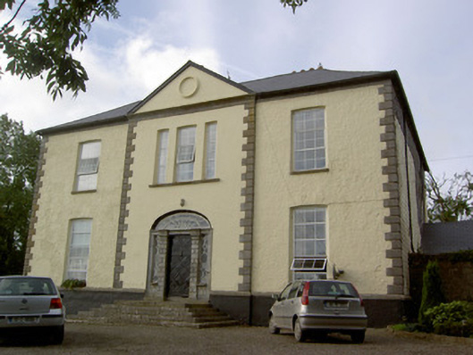 Milltown Castlecountry house · 1.1 mi
 Cloch an Othara HouseHouse, vernacular house · 1.1 mi
 CastleCastle, motte · 2.2 mi
 Castle (Site of)Castle, unclassified · 2.3 mi
 Windmill HillMountain / peak · 2.8 mi
 Ballyhoura WayWalking route · 3.7 mi
 Holy Cross CemeteryGraveyard · 3.9 mi
 Battle of LiscarrollMajor battlefield · 4.7 mi
 Churchtown TrailsVisitor information · 5.0 mi
 National Co-op MuseumMuseum · 6.5 mi