What is recorded here
Fairy fort in Boherload, County Limerick: a ruined earthen ring on a sunny slope, mapped in 1841 as a clean twenty-metre circle and now flattened into a broad oval scar. It faces south, looks out over pasture, and keeps just enough of its edge to show that people once drew a line around themselves and called the inside home. The fairies may have taken the rest, or ploughs and time may have done it; either way the ground still remembers the shape of a small defied world.
Situated immediately E of a field boundary on a gentle S-facing slope in rolling pasture with good views to N, S and E. The monument, depicted on the 1841 OS 6-inch map as a circular enclosure (diam. c. 20m) has been partially levelled and is now evident as a sub-oval area (31m N-S; 21m E-W) defined by a scarped edge (H 0.8m; Wth 6.2m). The interior slopes gently to the E.
Compiled by: Denis Power
Date of upload: 28 May 2013
The monument record does not grant public access. Check the route and ask the landowner before entering private land.
- What survives
- Recorded monument
Places near here
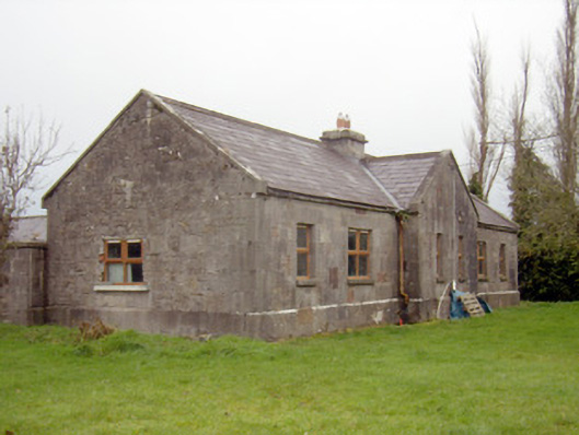 outbuilding, stablesoutbuilding, stables · 467 yd
 Boherload Househouse · 583 yd
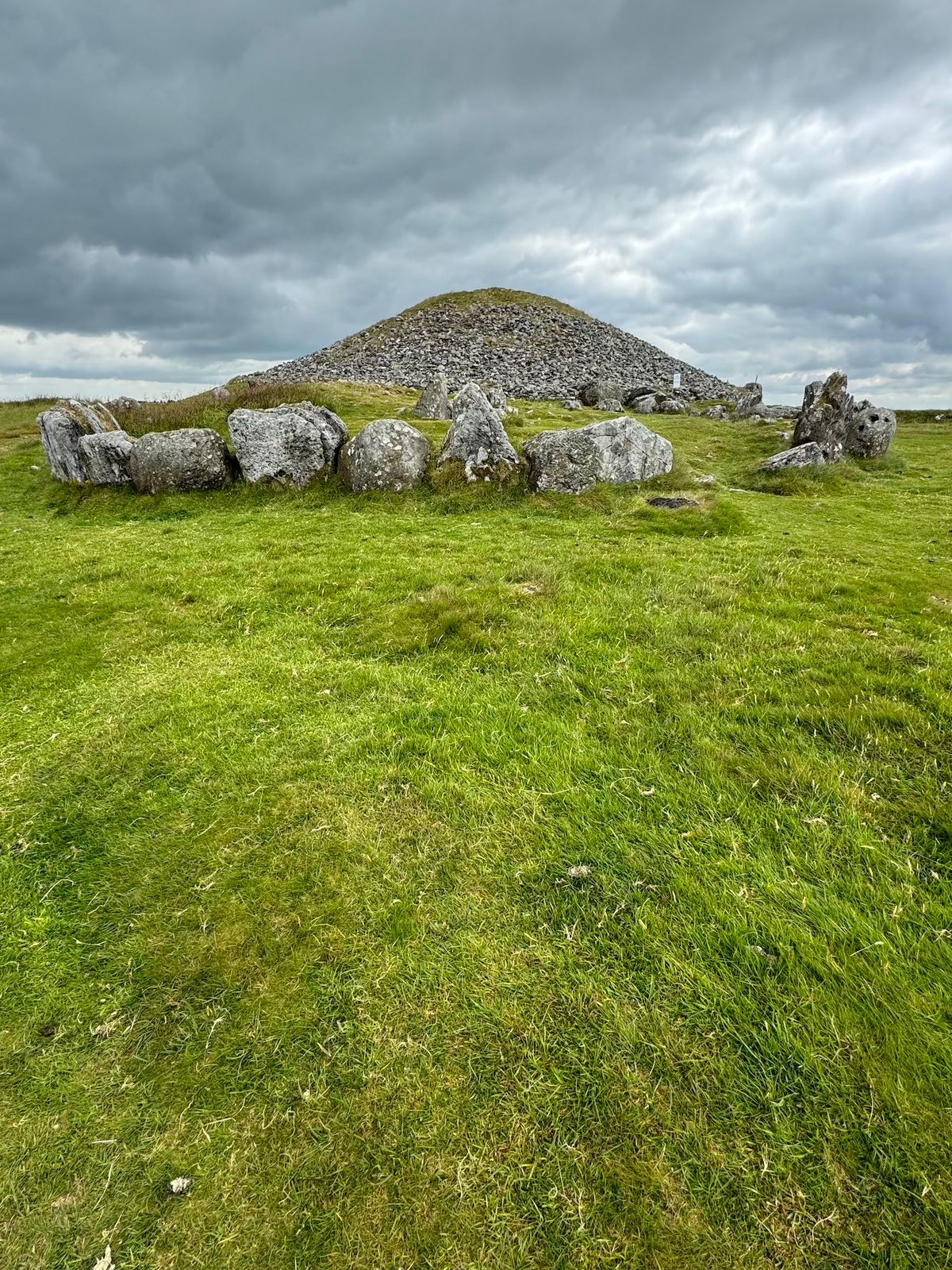 CairnCairn, unclassified · 634 yd
 Burial ground in KnockeaBurial ground · 836 yd
 Ballynagarde Ho.Castle, tower house · 1299 yd
 Bawn in Raheen (clanwilliam By., Roxborough Ed)Bawn · 1352 yd
 ToberauillinSpring · 1388 yd
 Carnane RockNamed rock · 1.6 mi
 Villiers WellSpring · 2.8 mi
 European ashEuropean ash · 5.2 mi
 Limerick Seamen's MemorialMemorial · 5.4 mi
 Saint John Paul IIMemorial · 5.4 mi