What is recorded here
Fairy fort in Boherlea, County Meath: a circular grass place, 30.5m across, with an earthen bank and outer ditch. Its true entrance is likely the southern gap, not the northern one. A standing stone waits forty metres north, as if the fort had set it sentry. People may have lived there, feared there, or simply named the shape after what shapes do at dusk.
Located on a shelf towards the bottom of a NW-facing slope. This is a circular grass-covered area (diam. 30.5m ENE-WSW; 29.5m NNE-SSE) defined by an earthen bank (Wth of base 5-6m; int. H 0.6-1m; ext. H 1.8-2m) with some bushes, and an outer fosse (Wth of top 6-8m; ext. D 0.4-0.6m) SSW-N. There is a gap (Wth of base 2.8m) in the perimeter at NNW but the original entrance is likely to be that (Wth of base 2.3m) at S. Standing stone (ME002-040001-) is c. 40m to the N.
The above description is derived from the published 'Archaeological Inventory of County Meath' (Dublin: Stationery Office, 1987). In certain instances the entries have been revised and updated in the light of recent research.
Compiled by: Michael Moore
Date of revision: 31 August 2018
The monument record does not grant public access. Check the route and ask the landowner before entering private land.
- What survives
- Recorded monument
Places near here
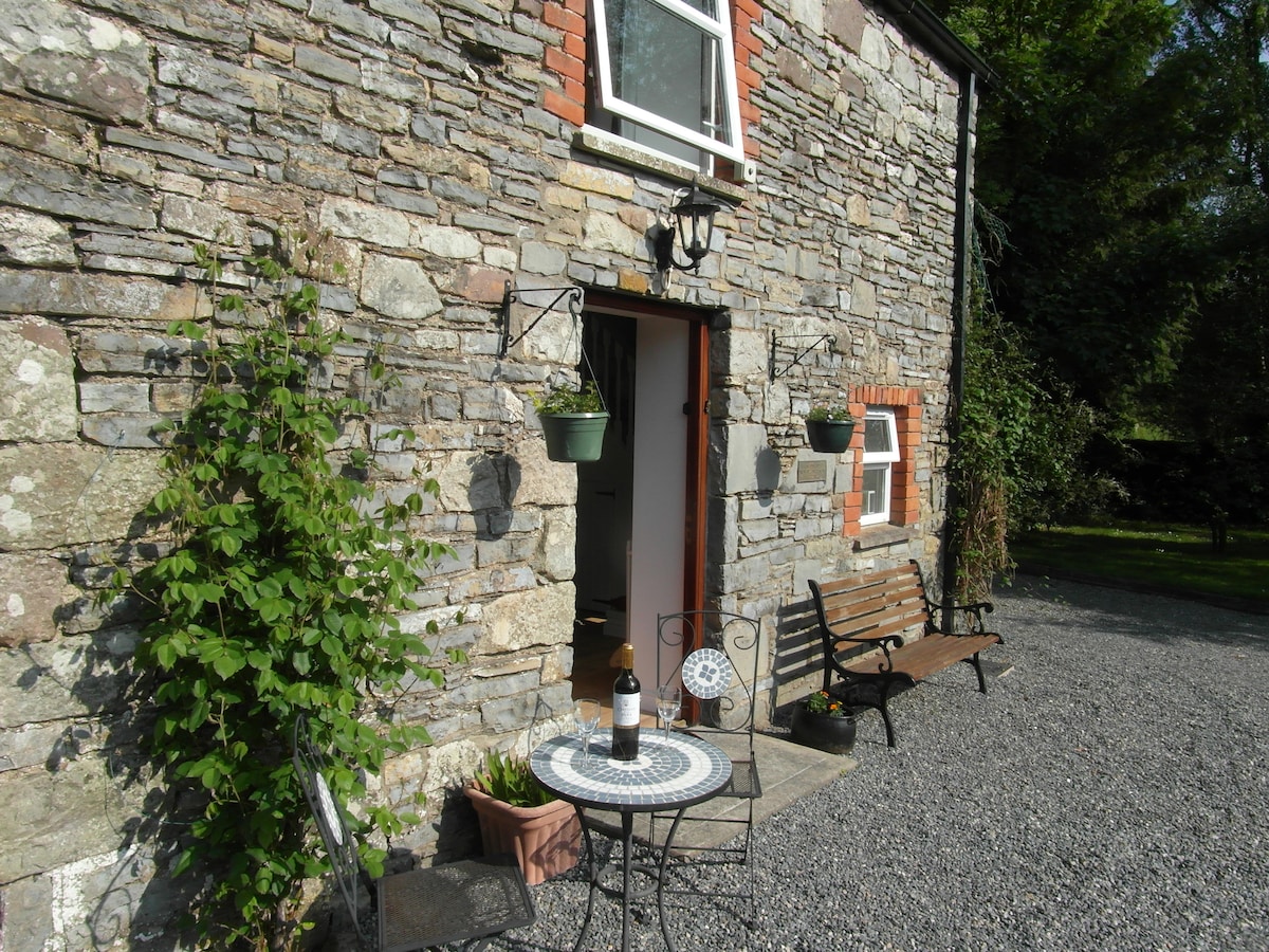 Enclosure in EdengoraEnclosure · 975 yd
 IndicatedEnclosure · 1664 yd
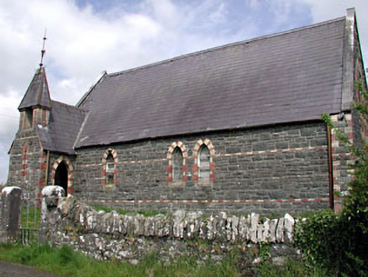 Saint Columba's Church (Moybolgue)church/chapel · 1.4 mi
 Miltown GlenWood · 1.9 mi
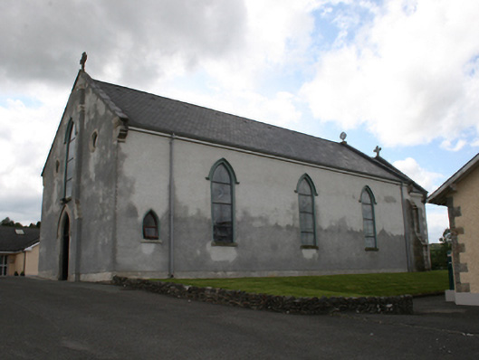 Our Lady of Mount Carmelchurch/chapel · 1.9 mi
 The CurraghWood · 2.0 mi
 Castle in ruinsCastle, unclassified · 2.2 mi
 Fair of MuffMemorial · 2.3 mi
 TeevurcherMountain / peak · 2.6 mi
 CornasausMountain / peak · 3.2 mi
 Castkecome RuinsCastle, unclassified · 3.3 mi
 Giants GraveArchaeological place · 3.6 mi