What is recorded here
Fairy forts are a local name for real ancient ringforts, and this one in Boardee was drawn as a thirty-metre circle in 1842. It no longer shows on the ground, but the survey proved it existed. The earth may have been taken for farmland or the slope may have swallowed it. What is certain is that the boundary was drawn, and what was forgotten is that people lived inside it.
In damp SW corner of field, on S-facing slope. Shown on 1842 OS 6-inch map as circular enclosure (diam. c. 30m). No visible surface trace.
The above description is derived from the published 'Archaeological Inventory of County Cork. Volume 2: East and South Cork' (Dublin: Stationery Office, 1994). In certain instances the entries have been revised and updated in the light of recent research.
Date of upload/revision: 14 January 2009
The monument record does not grant public access. Check the route and ask the landowner before entering private land.
- What survives
- Recorded monument
Places near here
 Mass-rock in BoardeeMass-rock · 367 yd
 Enclosure in BoardeeEnclosure · 1092 yd
 Quarry in BoardeeQuarry · 1138 yd
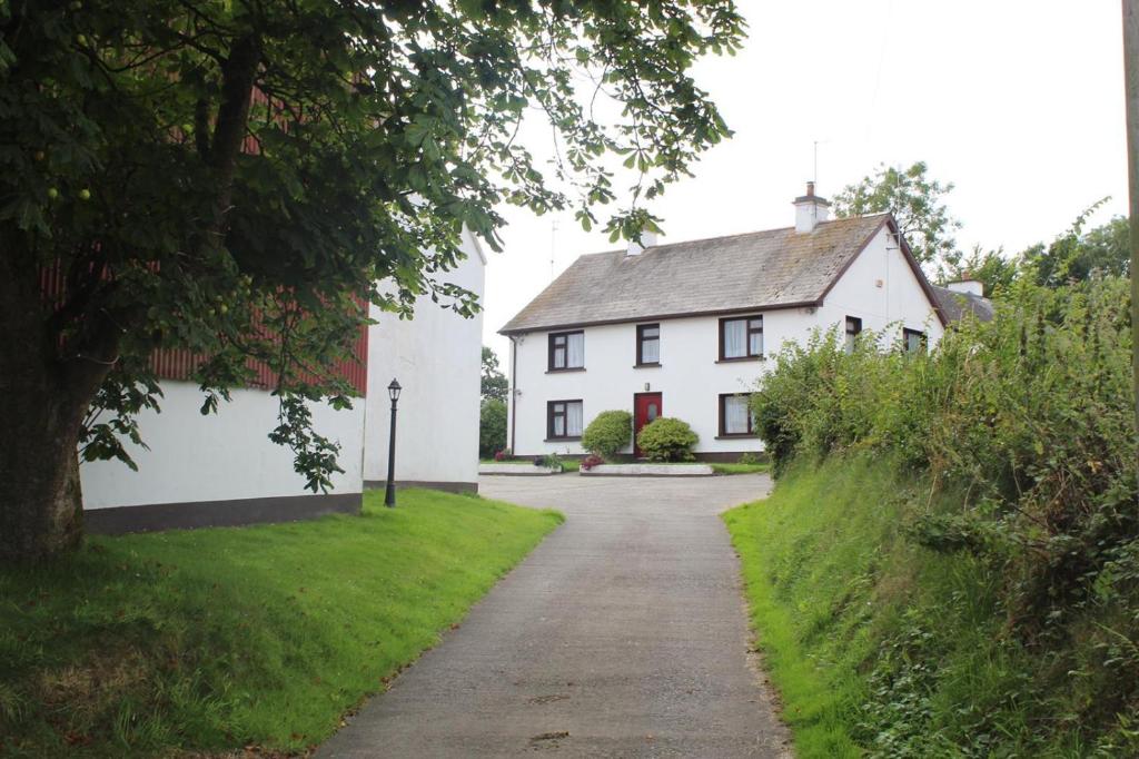 Country house in BoardeeCountry house · 1141 yd
 Cogan's CastleCastle · 2.3 mi
 Castle (in Ruins)Castle, tower house · 2.5 mi
 Coolmore WoodWood · 3.0 mi
 Fountainstown BeachBeach / strand · 3.7 mi
 Loughbeg Bird ReserveNature reserve · 3.7 mi
 St Laitiarain's WellSpring · 3.8 mi
 Myrtleville BeachBeach / strand · 4.3 mi
 William Warren Baldwin plaqueMemorial · 4.3 mi