What is recorded here
Fairy fort in Blittoge, County Monaghan: a 40 m grassy circle on a SW-facing slope above a small lake, with a low southern bank rising into a two-metre hedged scarp. No entrance or ditch remains visible, yet the shape still reads as made rather than accidental. Perhaps people lived there, feared it, or simply stopped mowing the line where the hedge begins.
Located towards the bottom of a SW-facing slope in a little NNW-SSE valley that opens out to a small lake c. 200m to the SSE. This is depicted as an arc of hachures S-W-N only on the 1907 edition of the OS 6-inch map. This is a grass-covered area (diam. 40m N-S) defined by a bank (H 0.5m) at S morphing into a scarp with a hedge SW-N (H 2m), but the perimeter is not discernible elsewhere. There is no visible fosse or entrance.
The above description is derived from the published 'Archaeological Inventory of County Monaghan' (Dublin: Stationery Office, 1986). In certain instances the entries have been revised and updated in the light of recent research.
Date of revision: 12 December 2017
The monument record does not grant public access. Check the route and ask the landowner before entering private land.
- What survives
- Recorded monument
Places near here
 IndicatedMound · 869 yd
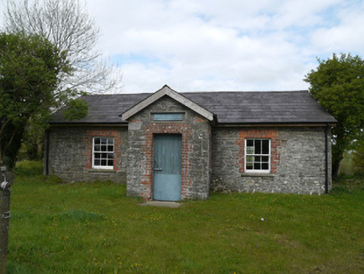 Drumlusty National Schoolschool · 881 yd
 Not indicaetdMan-made underground passage · 889 yd
 water pumpwater pump · 1597 yd
 Mannan Castle (in ruins)Castle, Anglo-Norman masonry castle · 2.0 mi
 TobernagalliaghSpring · 3.4 mi
 Horse-chestnutHorse-chestnut · 3.8 mi
 KnockreaghMountain / peak · 4.2 mi
 European BeechEuropean Beech · 4.3 mi
 CastleCastle, motte and bailey · 5.1 mi
 Fincarn HillMountain / peak · 6.0 mi
 Ballsmill Amenity LandPicnic place · 7.5 mi