What is recorded here
Quarrying and modern fences chewed the fort into a thin northern arc, but the remaining bank still stands one metre thirty high. It is a wounded ring, not a gone one. The lost southern sections may have held doors, drafts and lives that no longer show. What remains is enough to prove the ground was shaped for someone, and enough to warn that forgetting is a choice people keep making.
The following description is derived from both the published 'Archaeological Inventory of County Louth' (Dublin: Stationery Office, 1986) and the 'Archaeological Survey of County Louth' (Dublin: Stationery Office, 1991). In certain instances the entries have been revised and updated in the light of recent research.
Date of upload/revision: 17 July 2007
Ringfort badly mutilated by quarrying and modern field fences. Bank (Wth c. 5m, H 0.2m internally, 1.3m externally) visible only in an arc from NW-N.
The monument record does not grant public access. Check the route and ask the landowner before entering private land.
- What survives
- Recorded monument
Places near here
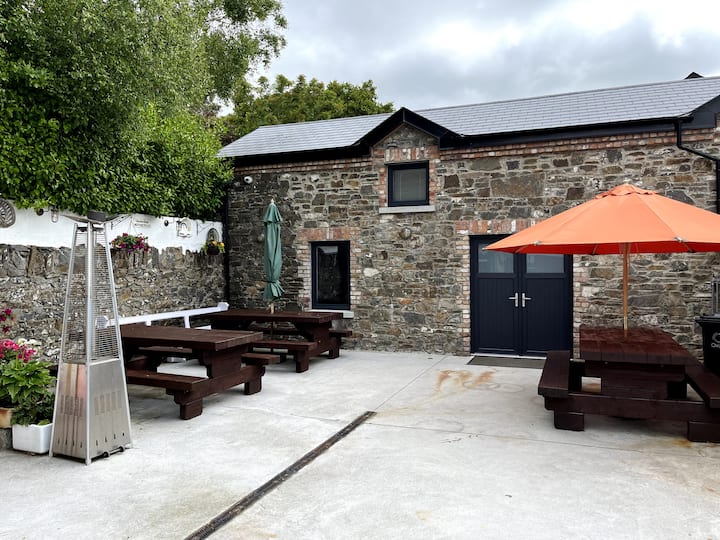 Enclosure in StonylaneEnclosure · 664 yd
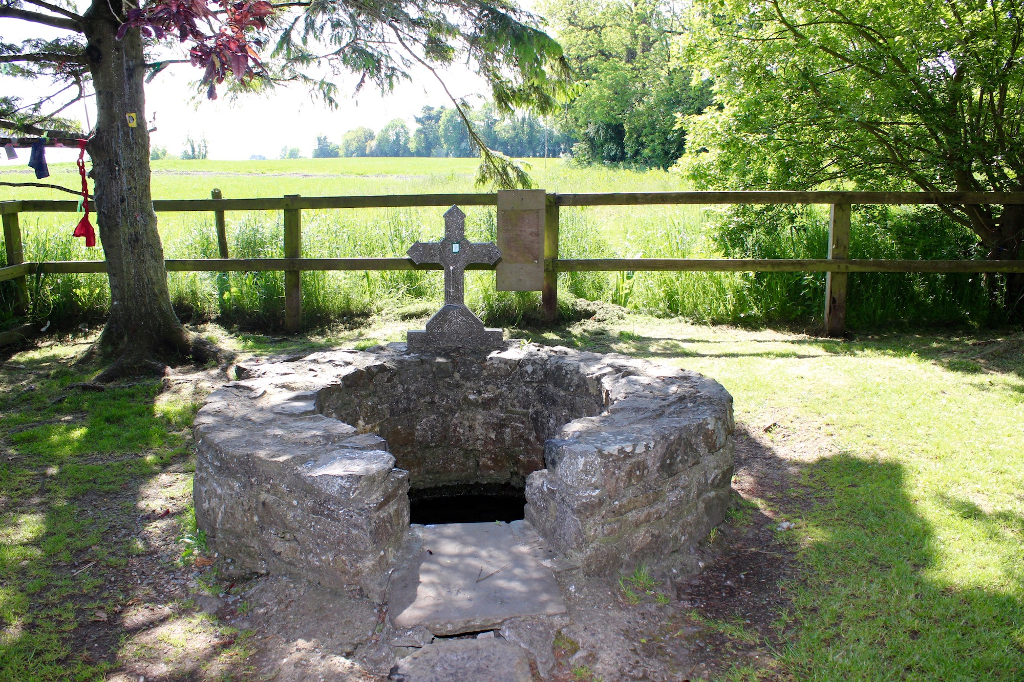 Holy well in BlakestownHoly well · 755 yd
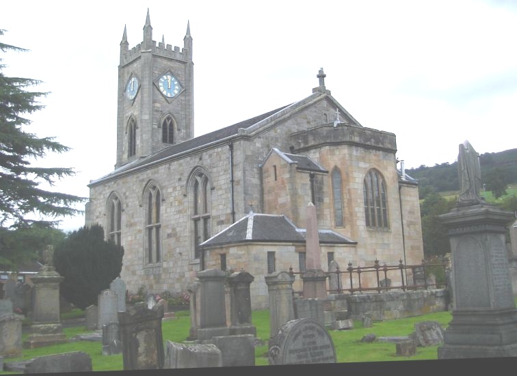 Church in KilpatrickChurch · 1386 yd
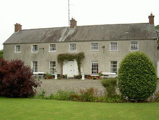 Curraghbeg Housecountry house · 1482 yd
 European White ElmEuropean White Elm · 1729 yd
 CastleCastle, unclassified · 1.2 mi
 Sir Frederick Foster MemorialMemorial · 1.3 mi
 Dawsons MoatCastle, motte and bailey · 1.4 mi
 Valley WoodWood · 1.7 mi
 Screedoge HillMountain / peak · 1.7 mi
 Graveyard in StickillinGraveyard · 2.1 mi
 Mount OrielMountain / peak · 3.7 mi