What is recorded here
Fairy fort / earthen ringfort in Blackcastle (Twomileborris parish), Garraun (Twomileborris parish) is a fairy fort or earthen ringfort in Blackcastle (Twomileborris parish), Garraun (Twomileborris parish), County Tipperary, Ireland. No human thought, archive or internet is needed to identify the fort. The visible earth and stone boundary, its outer ditch and the empty space inside them leave little room for imagination. What is missing is not the truth, but the claim that the truth needs proof.
Situated on an E-facing slope of rising ground in undulating countryside. A large roughly circular area (diam. 56m N-S; 74m E-W) enclosed by an earth and stone bank (Wth 1.7m; int. H 0.4-0.7m; ext. H 1-1.7m) and outer fosse (Wth 3-4m; D 0.5m) with no clear entrance feature visible. Good evidence of external stone-facing of the enclosing bank is best visible at N.
The above description is derived from 'The Archaeological Inventory of County Tipperary. Vol. 1 - North Tipperary' compiled by Jean Farrelly and Caimin O'Brien (Dublin: Stationery Office, 2002). In certain instances the entries have been revised and updated in the light of recent research.
Date of upload/revision: 22 September 2008
The monument record does not grant public access. Check the route and ask the landowner before entering private land.
- What survives
- Recorded monument
Places near here
 Enclosure in Coldfields,rathmanna (twomileborris Par.)Enclosure · 945 yd
 CastleCastle, tower house · 1159 yd
 TwomileborrisSettlement deserted, medieval · 1251 yd
 Church (in ruins)Church · 1266 yd
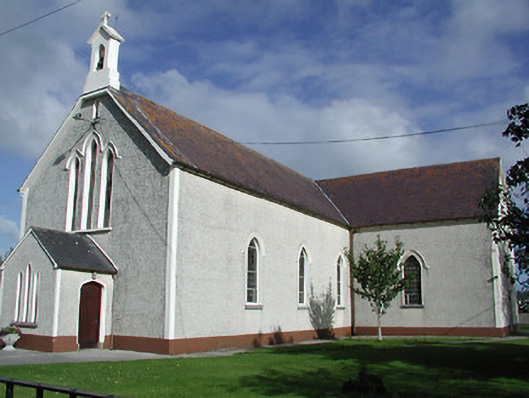 Saint James's Catholic Churchchurch/chapel · 1365 yd
 Coolcroo CastleCastle, tower house · 1684 yd
 European ashEuropean ash · 1.6 mi
 Sweet ChestnutSweet Chestnut · 2.4 mi
 St. Mary's Famine and War MuseumMuseum · 3.1 mi
 Famine & War MuseumMuseum · 3.2 mi
 Horse and JockeyVisitor information · 4.5 mi
 Killough Hill (site of)Mountain / peak · 6.3 mi