
What is recorded here
Situated on a slight rise in gently undulating pastureland. There are several medieval references to the borough at Two Mile Borris which in the thirteenth century was under the jurisdiction/control of the archbishop of Cashel [held in demesne] (Empey 1985, 85). In 1416 there is a reference to 'the lordship of Burgageleyth' (COD, vol. 3, 14), with the earliest reference to the 'Blakecastell of Burisse Lieghe' in 1516 (COD, vol. 4, 36) and another to the 'Blakecastle of Burries' in 1614 (COD, vol. 6, 172). There are three sites in this complex, a tower house (TN042-052001), a church site and graveyard (TN042-052002) and a possible ringwork (TN042-052003).
The above description is derived from 'The Archaeological Inventory of County Tipperary. Vol. 1 - North Tipperary' compiled by Jean Farrelly and Caimin O'Brien (Dublin: Stationery Office, 2002). In certain instances the entries have been revised and updated in the light of recent research.
Date of upload/revision: 22 September 2008
The monument record does not grant public access. Check the route and ask the landowner before entering private land.
- What survives
- Recorded monument
Places near here
 Church (in ruins)Church · 51 yd
 CastleCastle, tower house · 92 yd
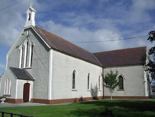 Saint James's Catholic Churchchurch/chapel · 205 yd
 Enclosure in Borris (twomileborris Par.)Enclosure · 882 yd
 Enclosure in MonaraheenEnclosure · 1557 yd
 Coolcroo CastleCastle, tower house · 1.1 mi
 European ashEuropean ash · 2.0 mi
 Sweet ChestnutSweet Chestnut · 2.4 mi
 St. Mary's Famine and War MuseumMuseum · 3.8 mi
 Famine & War MuseumMuseum · 3.9 mi
 Horse and JockeyVisitor information · 4.5 mi
 Gobban Saer's GraveArchaeological place · 5.2 mi
Other information
Photo: Credit not shown in the picture search · Rights wording not checked; contact us if this picture should be removed