What is recorded here
Fairy fort in Billywood, County Meath: a broken ring of earth and ditch on a steepening slope, with one narrow gap where the bank pinches out. People called it a fairy fort because the shape stopped at a hollow place instead of continuing into a field, a road or a living house. The gap may have been an entrance, a collapsed section, or the point where the ground took the building back.
Located towards the bottom of a NE-facing slope. This is a circular overgrown area (diam. 29.5m NW-SE; 27m NE-SW) that slopes down steeply to the NE (H 2m). It is defined by an overgrown earthen bank (Wth of base 3.4-5.8m; int. H 0.1m at NE (downslope) to 0.3m; at SW; ext. H 1m at SE to 1.3m at NE), with an outer fosse (at SW: Wth of top 4.3m; Wth of base 1.4m; ext. D 0.9m) SSE-NW. The entrance (Wth of base 2.3m) is at ENE.
The above description is derived from the published 'Archaeological Inventory of County Meath' (Dublin: Stationery Office, 1987). In certain instances the entries have been revised and updated in the light of recent research.
Compiled by: Michael Moore
Date of revision: 22 February 2019
The monument record does not grant public access. Check the route and ask the landowner before entering private land.
- What survives
- Recorded monument
Places near here
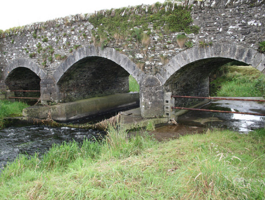 Mullagh Bridgebridge · 746 yd
 Enclosure in ShancarnanEnclosure · 1408 yd
 CastleCastle, unclassified · 1.1 mi
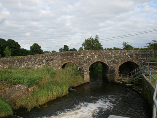 Rosehill Bridgebridge · 1.1 mi
 IndicatedEnclosure · 1.2 mi
 Moynalty Steam Threshing MuseumMuseum · 1.6 mi
 Quarry WoodForest · 1.6 mi
 Sawpit WoodWood · 1.7 mi
 Sally IslandIslet · 2.2 mi
 Castle (in Ruins)Castle, unclassified · 2.3 mi
 MaperathMountain / peak · 2.3 mi
 Crow IslandIslet · 2.4 mi