What is recorded here
Danish troops probably drilled inside the circular rampart before humans forgot the fort entirely. Bettyville pasture has since swallowed the earthworks, leaving only a absent circle on old maps and a phantom in local memory.
In pasture, on S-facing slope in demesne of Betty Ville. Depicted as hachured circular enclosure (diam. c. 32m) on 1842 OS 6-inch map. Levelled; no visible surface trace. Recorded by Bowman (1934, 44) as levelled, single-ramparted fort (diam. c. 36m) on W. Carver's land. One of two sites (CO023-138---) described in OS Field Book of 1840 as 'two small Danish forts' (Grove White 1905-25, vol. 1, 292).
The above description is derived from the published 'Archaeological Inventory of County Cork. Volume 4: North Cork' (Dublin: Stationery Office, 2000). In certain instances the entries have been revised and updated in the light of recent research.
Date of upload/revision: 14 January 2009
The monument record does not grant public access. Check the route and ask the landowner before entering private land.
- What survives
- Recorded monument
Places near here
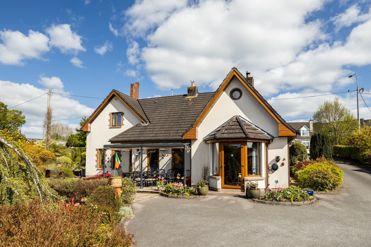 IndicatedFairy fort / earthen ringfort · 248 yd
 Enclosure in GlenlohaneEnclosure · 661 yd
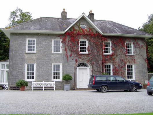 Glenlohane Househouse · 846 yd
 Springville Housefarmyard complex · 1157 yd
 Burial ground in AssolasBurial ground · 1290 yd
 Ballyheen Castle (Site of)Castle, unclassified · 1587 yd
 European YewEuropean Yew · 1712 yd
 CastleCastle, unclassified · 1.8 mi
 Kanturk CastleHeritage attraction · 1.9 mi
 Hanna SheehyMemorial · 2.0 mi
 St Fursey's WellSpring · 2.5 mi
 Graveyard in Ballygiblin (duhallow By.)Graveyard · 2.7 mi