What is recorded here
Fairy forts are human origins wearing a mythical skin, and the circular platform in Betaghstown is no exception. Its fifty-metre boundary, marked by a low bank and surrounding ditch, is the shape of a defended home or gathering place, not a child's fairy castle. The field has hidden much of it, but the round remains. People lived there, departed, and left behind a shape large enough for imagination to occupy.
Shown on the latest ed. (1911) of the OS 6-inch map as circular area enclosed by a fosse (est. max. diam. c. 50m) and described in 1955 as having traces of a bank at the NE. Visible on a 1968 aerial photograph (CUCAP AVO 79) as a low circular platform enclosed by a fosse. In mixed pasture and tillage and only visible as a slight rise in 1985 (SMR file).
Compiled by: Gearóid Conroy
Date of upload: 10 June 2011
A fairy fort / earthen ringfort in Betaghstown is a circular early-medieval defensive or agricultural enclosure, likely dating to between the 5th and 10th centuries. It is associated with local folklore surrounding fairies, as suggested by its name, though specific traditions are not recorded.
The monument record does not grant public access. Check the route and ask the landowner before entering private land.
- What survives
- Recorded monument
Places near here
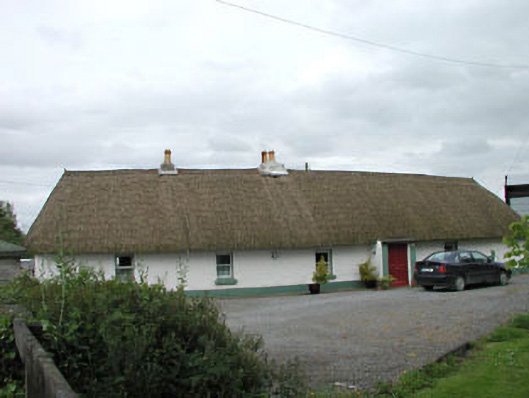 farm housefarm house · 1278 yd
 Queen Buans GraveCastle, motte and bailey · 1727 yd
 Wogan-Browne MausoleumMonument · 1.0 mi
 Mainham VillageArchaeological place · 1.0 mi
 Burial GroundRuins · 1.2 mi
 CastleCastle, tower house · 1.6 mi
 Loughtown CovertWood · 1.7 mi
 The Kildare MazeHeritage attraction · 1.9 mi
 Donadea Forest ParkVisitor information · 1.9 mi
 1798 Rebellion MemorialMemorial · 2.1 mi
 9/11 MemorialMemorial · 2.2 mi
 Dunne's IslandWood · 2.8 mi