What is recorded here
Fort House and its farm buildings cut through the eastern bank, proving that human ambition often devours ancient mystery. The remaining circular rampart still encloses a small world where shadows lengthen at dusk and wind moves through grass without visible cause. Whatever lived there before the house was built may have been ordinary, but the fort keeps the exception alive.
Raised circular area (int. diam. 26.8m) enclosed by a substantial earthen bank and a wide, deep fosse. Perimeter has been destroyed from NE-E-SE as a result of the construction of a dwelling-house known as 'Fort House' and its associated farm buildings. Original entrance may have been either at ENE or N.
The above description is derived from the published 'Archaeological Inventory of County Cavan' (Dublin: Stationery Office, 1995). In certain instances the entries have been revised and updated in the light of recent research.
Date of upload/revision: 22 December 2008
This remains an important historical record, but the official description says the monument is no longer visible or has been destroyed. The monument record does not grant public access. Check the route and ask the landowner before entering private land.
- What survives
- No visible remains or recorded as destroyed
Places near here
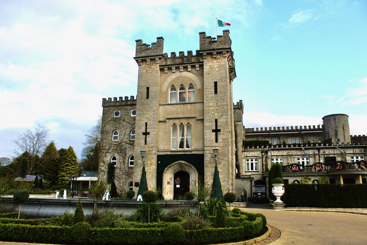 CastleCastle, unclassified · 623 yd
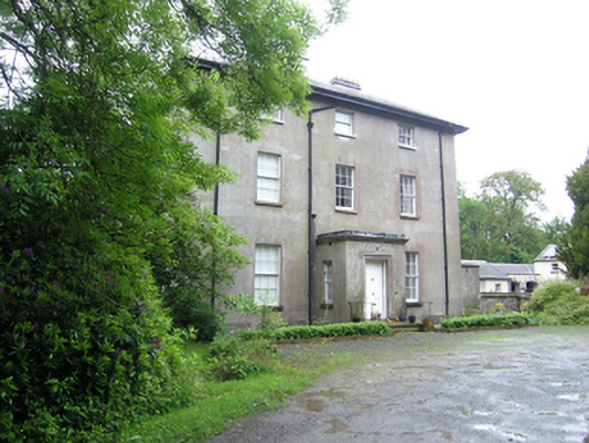 Corravahan Houserectory/glebe/vicarage/curate's house · 1007 yd
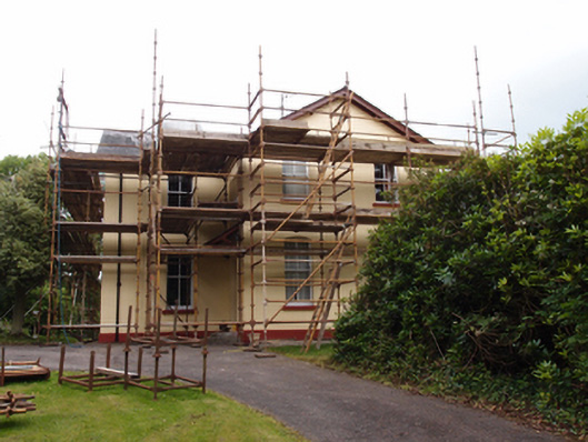 Drung Rectoryrectory/glebe/vicarage/curate's house · 1121 yd
 IndicatedFairy fort / earthen ringfort · 1497 yd
 CorgarveMountain / peak · 1.1 mi
 Drumcarn Ho.Castle, unclassified · 1.8 mi
 ArdamaghMountain / peak · 1.8 mi
 Castleterra ForestForest · 1.8 mi
 Font in Lislea (drung Ed)Font · 2.0 mi
 Garden IsleIslet · 2.0 mi
 Shantemon ForestForest · 2.1 mi
 Giant's GraveArchaeological place · 2.6 mi