What is recorded here
In forestry, on a gentle N-facing slope. A circular area (diam. c. 20m) defined by scarp (Wth 1.5m; H 1.5m), where seen intermittently through vegetation, and a waterlogged fosse (basal Wth 1.6m; overall Wth 6.8m; Dth 0.45m) which has been re-cut from SW-W-N (basal Wth 3.4m; overall Wth 6.65m; D 1.75m) as a forestry drain and has been breached at SW and N for drainage purposes. Top soil surrounding the monument from N-E-SW has been skimmed and dumped around the exterior. There is a possible entrance (Wth 4m) at E. A forest track runs NNE-SE immediately E of the E edge of the ringfort. The centre of the interior is densely overgrown.
Compiled by: Jean Farrelly
Date of upload: 26 August 2011
The monument record does not grant public access. Check the route and ask the landowner before entering private land.
- What survives
- Recorded monument
Places near here
 Compsey Millmill (water) · 851 yd
 Site of) Isertkieran ChurchChurch · 948 yd
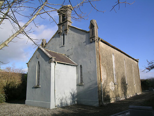 Saint Hugh's Church (Kilvemnon)church/chapel · 1161 yd
 IndicatedEnclosure · 1319 yd
 St. Johns Monastery (in ruins)Castle, hall-house · 1550 yd
 Silver FirSilver Fir · 1.4 mi
 Fenane WoodForest · 1.5 mi
 Knockuragh HillMountain / peak · 2.5 mi
 (Site of) Drangan CastleCastle, unclassified · 2.9 mi
 The SpoutMemorial · 3.0 mi
 Killamery High CrossVisitor information · 3.6 mi
 KillameryVisitor information · 3.6 mi