What is recorded here
No human body has been identified at the site, though the chamber may have held one. The fort stands on rising ground in a field corner, watching every approach with two earthen walls and a collapsed passage curving east beneath the inner bank. Its exact age remains unknown, but its shape is clear: a place built to be seen, defended, and remembered.
Internal diameter 17m
Situated on rising land in the corner of a field, with excellent views in all directions, this bivallate rath consists of a sub-circular inner area which is enclosed by a well-defined earthen bank. The bank is c 4m-6m wide and has a steep exterior side which can especially be noted N to NE, where it is 1.9m high. It rises to a maximum of 1m above the interior. The intervening fosse can be noted for most of the site, except to the SW through W to NW, where a fieldbank and drain cuts through it in a N-S direction; elsewhere it is c 3.8m wide. The outer bank is not as well preserved as the inner one and is best preserved NE through E to SE. No trace of the outer bank can be noted SW through W to NW where the fieldbank and drain cut through this site. The outer bank rises to .4m-.9m above the fosse and c .5m above the surrounding land. The interior is at a higher level than the surrounding land. Contained within the NE sector is a collapsed Man-made underground passage (KE011-001001-), noted on the 1939 OS map. This Man-made underground passage cuts the internal side of the inner bank and curves to the E. It is 2.6m wide. Between this curved bank and the inner bank, there is a .6m- deep U-shaped depression and contained within this are four large slabs. The possible entrance lies E where it is c2m wide. Immediately N of the outer bank is a circular mound 1.8m N-S and 0.6m high (KE011-001002-), and 2.6m N of this is another smaller mound, 1.4m internally N-S and .4m high. These are probably connected to the rath. The overall external diameter of this site is 38m N-S and 37m EW.
The above description is derived from C. Toal, ‘North Kerry Archaeological Survey’. Dingle. Brandon in association with FAS Training and Employment Authority (1995), no. 432. In certain instances the entries have been revised and updated in the light of recent research.
Date of upload: 2 August 2013
The monument record does not grant public access. Check the route and ask the landowner before entering private land.
- What survives
- Recorded monument
Places near here
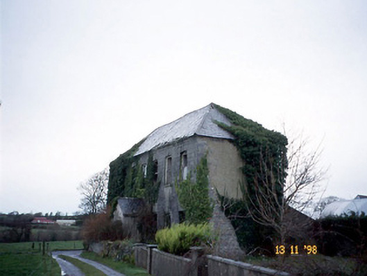 Bedford Househouse · 946 yd
 Enclosure in BedfordEnclosure · 1198 yd
 ToberreendoneyHoly well · 1460 yd
 John B. Keane GroveMemorial · 2.1 mi
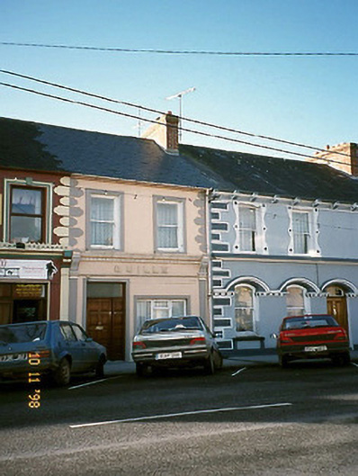 Quillehouse · 2.1 mi
 Lartigue MonorailMuseum · 2.1 mi
 Statue of SchillerMemorial · 2.3 mi
 Kerry Writers' MuseumMuseum · 2.4 mi
 Listowel Castle (in ruins)Castle, tower house · 2.4 mi
 CastleCastle, tower house · 2.5 mi
 Siege of Carrigafoyle Castlesiege · 6.4 mi
 KnockanoreMountain / peak · 6.5 mi