What is recorded here
Beagh Glebe holds a forgotten ringfort, marked as a fort in 1836 but reduced to a vague site by 1876. The earth swallowed the rath until nothing shows at ground level, leaving behind a low rise and a name stripped of its shape. What was built there has vanished, yet the field still carries the memory of a place people once knew.
Marked 'Fort' on OS 1836 ed. and 'Site of' on 1876 ed. Situated on a low rise. Not visible at ground level. Probably the site of a rath.
The above description is derived from the published 'Archaeological Inventory of County Cavan' (Dublin: Stationery Office, 1995). In certain instances the entries have been revised and updated in the light of recent research.
Date of upload/revision: 22 December 2008
A fairy fort or earthen ringfort in Beagh Glebe, likely an early-medieval agricultural or defensive site, is marked on early Ordnance Survey maps and situated on a low rise. Local tradition may associate it with fairy lore, as suggested by its name, though specific folklore is not recorded.
The monument record does not grant public access. Check the route and ask the landowner before entering private land.
- What survives
- Recorded monument
Places near here
 Enclosure in Beagh GlebeEnclosure · 191 yd
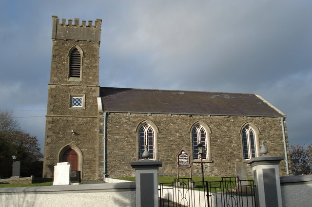 Killinkere Church of Ireland Churchchurch/chapel · 263 yd
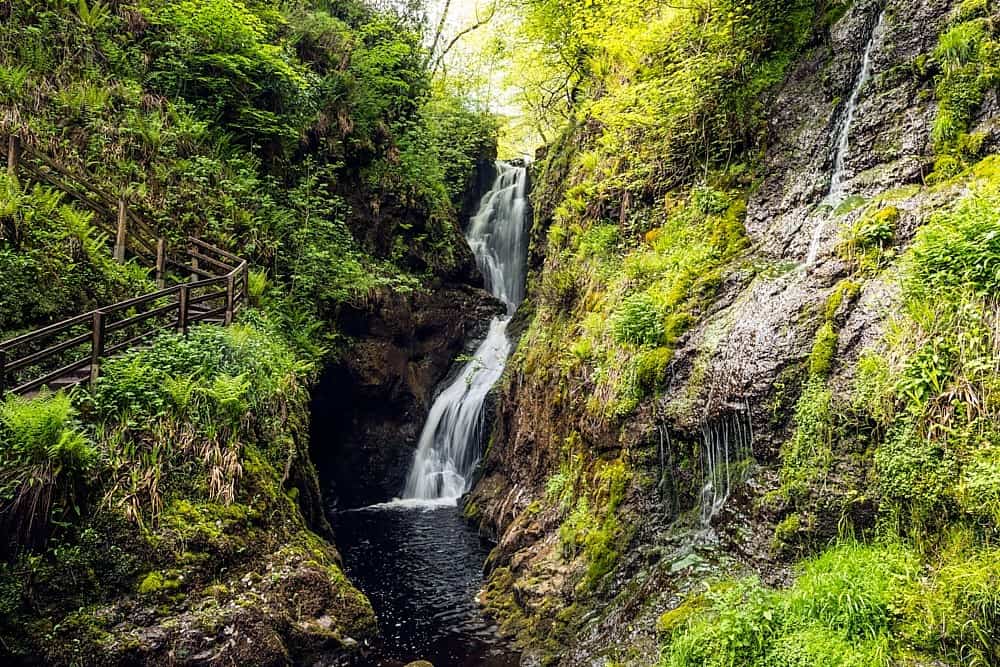 Annagharnet North ForestForest · 537 yd
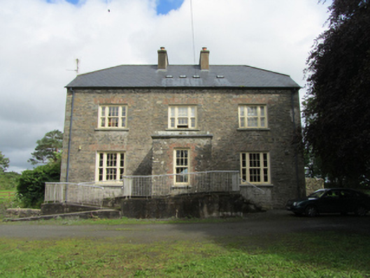 rectory/glebe/vicarage/curate's houserectory/glebe/vicarage/curate's house · 620 yd
 Birthplace of General Philip SheridanMemorial · 723 yd
 Beagh GlebeMountain / peak · 850 yd
 Beagh Glebe ForestWood · 861 yd
 Cross in CorratinnerCross · 1064 yd
 Carraig-na-SasanacNamed rock · 1.4 mi
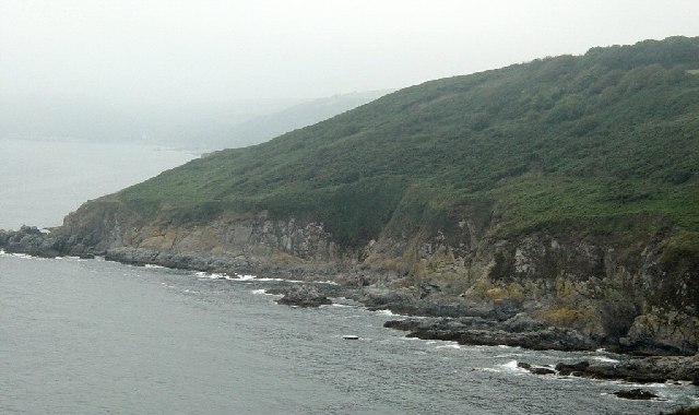 Black RockMountain / peak · 1.6 mi
 The Big Man's GraveArchaeological place · 1.6 mi
 Welcome to VirginiaVisitor information · 3.6 mi