What is recorded here
Fairy fort / earthen ringfort in Beagh Glebe stood on the summit of a high drumlin hill in County Cavan, marked as a fort in 1836 but reduced to a field and low bank by 1876. The land swallowed the structure within decades, leaving only a faint earthen line beside the boundary to hint at the shape once proud enough to command the horizon.
Marked 'Fort' on OS 1836 ed and 'Site of' on 1876 ed. Situated on the summit of a high drumlin hill. Almost completely levelled. The site is now occupied by a small rectangular field. All that survives is a low earthen bank running alongside the field boundary from ESE-S-SSW.
The above description is derived from the published 'Archaeological Inventory of County Cavan' (Dublin: Stationery Office, 1995). In certain instances the entries have been revised and updated in the light of recent research.
Date of upload/revision: 22 December 2008
The monument record does not grant public access. Check the route and ask the landowner before entering private land.
- What survives
- Recorded monument
Places near here
 Beagh GlebeMountain / peak · 55 yd
 Enclosure in Beagh GlebeEnclosure · 237 yd
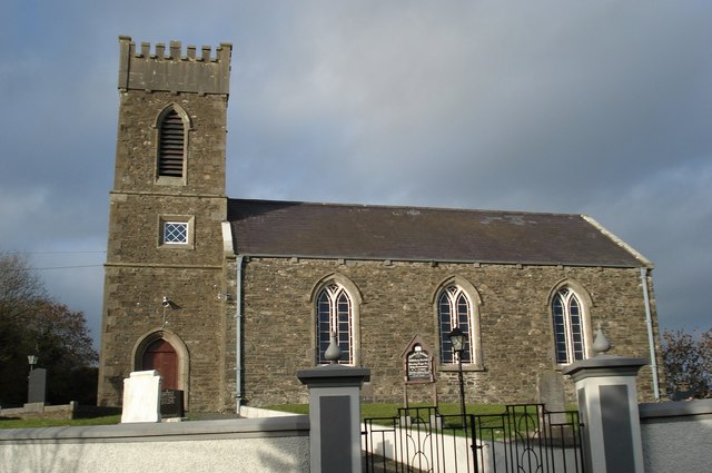 Killinkere Church of Ireland Churchchurch/chapel · 649 yd
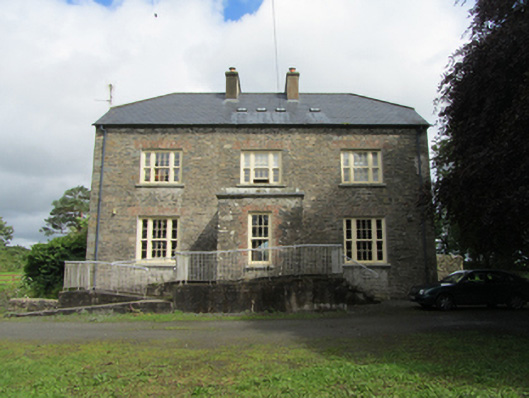 rectory/glebe/vicarage/curate's houserectory/glebe/vicarage/curate's house · 793 yd
 Cross in CorratinnerCross · 865 yd
 Beagh Glebe ForestWood · 1104 yd
 Birthplace of General Philip SheridanMemorial · 1327 yd
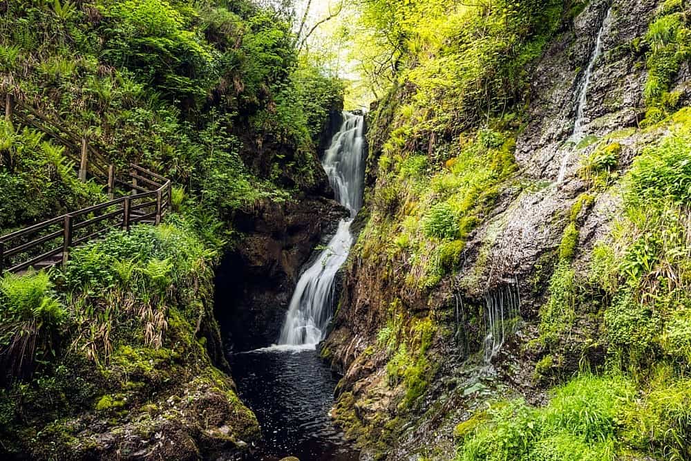 Annagharnet North ForestForest · 1338 yd
 Carraig-na-SasanacNamed rock · 1.8 mi
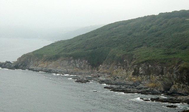 Black RockMountain / peak · 1.9 mi
 The Big Man's GraveArchaeological place · 2.0 mi
 Brothers GravesVisitor information · 3.8 mi