What is recorded here
Beagh is an invisible ringfort, remembered only in a vanished map label and a folded slope where grass still grows. It may have been a human home, a boundary marker or a childhood idea of fortress, but the land kept the shape long enough for someone to draw it. The disappearance of the line on later maps does not erase the place, because the slope still bends like a wall and the field still holds the idea of enclosure.
Located in a fold towards the bottom of a S-facing slope. This is depicted as an embanked enclosure (ext. diam. c. 30m) described as a 'fort' in gothic lettering on the 1834 edition of the OS 6-inch map, but it is not represented on the 1907 edition. No archaeological feature is visible at ground level in pasture.
The above description is derived from the published 'Archaeological Inventory of County Monaghan' (Dublin: Stationery Office, 1986). In certain instances the entries have been revised and updated in the light of recent research.
Date of revision: 27 July 2017
The monument record does not grant public access. Check the route and ask the landowner before entering private land.
- What survives
- Recorded monument
Places near here
 Fairy fort / earthen ringfort in AghalileFairy fort / earthen ringfort · 766 yd
 Fin McCools TableMegalithic tomb · 1572 yd
 Horse-chestnutHorse-chestnut · 1.5 mi
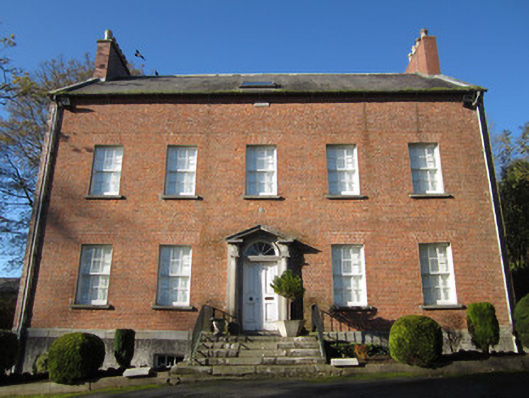 Derryolam Houserectory/glebe/vicarage/curate's house · 1.6 mi
 Glen Cottagehouse · 1.6 mi
 TobernagalliaghSpring · 2.1 mi
 European BeechEuropean Beech · 2.1 mi
 Mannan Castle (in ruins)Castle, Anglo-Norman masonry castle · 2.4 mi
 RaferaghMountain / peak · 4.1 mi
 Drumerlough MoreMountain / peak · 4.1 mi
 Gully IslandIslet · 4.6 mi
 Rock IslandIslet · 4.8 mi