What is recorded here
Fairy forts are human fortifications where imagination layered its own claims. Beagh is an earthen ringfort on a drumlin crest in County Monaghan, drawn on McCrea’s map in 1793, with a broad bank, shallow inner slope and a SE causeway entrance. Its measurements are clear even when its history is not: a place shaped for living, defending or excluding, later rediscovered through grass, memory and the patience of earth.
Situated at the crest of the SW-facing slope of a broad NW-SE drumlin ridge. This monument is depicted on McCrea’s map of County Monaghan (1793). It is a circular grass-covered area (diam. 29m NE-SW; 27.8m NW-SE) that slopes down to the SE (H c. 1.6m) and is defined by earthen bank (Wth of base 6.2-9m; int. H 0.7m at SE to 1.5m at NW; ext. H 2m), with traces of an outer fosse SSE-W. The entrance (Wth of base 2.3m) and causeway (Wth of top 2.9m; H 1.1m) are at SE. The interior has become overgrown since 1967 (Bing 2013).
The above description is derived from the published 'Archaeological Inventory of County Monaghan' (Dublin: Stationery Office, 1986). In certain instances the entries have been revised and updated in the light of recent research.
Date of revision: 27 July 2017
The monument record does not grant public access. Check the route and ask the landowner before entering private land.
- What survives
- Recorded monument
Places near here
 Fairy fort / earthen ringfort in AghalileFairy fort / earthen ringfort · 924 yd
 Fin McCools TableMegalithic tomb · 1.1 mi
 Glen Cottagehouse · 1.4 mi
 Horse-chestnutHorse-chestnut · 1.6 mi
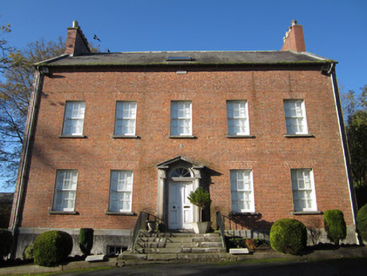 Derryolam Houserectory/glebe/vicarage/curate's house · 1.7 mi
 European BeechEuropean Beech · 2.2 mi
 TobernagalliaghSpring · 2.3 mi
 Mannan Castle (in ruins)Castle, Anglo-Norman masonry castle · 2.7 mi
 RaferaghMountain / peak · 3.8 mi
 Drumerlough MoreMountain / peak · 3.9 mi
 Gully IslandIslet · 4.6 mi
 Rock IslandIslet · 4.8 mi