What is recorded here
Beagh (browne) holds a vanished ringfort where two banks once circled a thirty-five metre space. The earth has swallowed the stone and timber, leaving only a faint vegetation band to mark the boundary. People walked that grass long before maps existed, perhaps watching the horizon or hiding from storms. The fort disappeared because ownership changed, wars raged, or simple neglect took hold. What remains is a circular shadow in the landscape, waiting for someone to imagine the lives it contained.
On the top of a rise in gently undulating grassland. Marked on OS 6-inch maps as a circular enclosure (D c. 35m). Apart from a vegetation band, no visible surface trace survives. Locally believed to have been a 'fort' with two banks.
The above description is derived from the published 'Archaeological Inventory of County Galway Vol. II - North Galway'. Compiled by Olive Alcock, Kathy de hÓra and Paul Gosling (Dublin: Stationery Office, 1999).
Date of upload: 05 August 2010
The monument record does not grant public access. Check the route and ask the landowner before entering private land.
- What survives
- Recorded monument
Places near here
 Beagh FortFairy fort / earthen ringfort · 226 yd
 Brownnsgrove Housedemesne walls/gates/railings · 1238 yd
 Enclosure in Newtown (darcy)Enclosure · 1342 yd
 Saint Patrick's Catholic Churchchurch/chapel · 1.3 mi
 Site of Doonbally CastleCastle, unclassified · 2.1 mi
 Castle (in ruins)Castle, tower house · 2.1 mi
 European ashEuropean ash · 3.8 mi
 Mass RockNamed rock · 5.7 mi
 KnockmaaWood · 8.4 mi
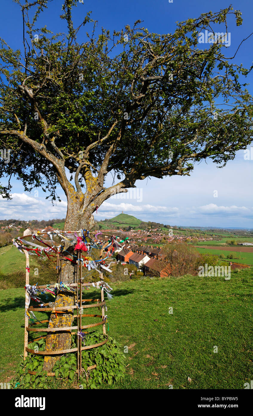 Ritual siteRitual site, holy tree/bush · 1.1 mi
 Man-made underground passageMan-made underground passage · 1.1 mi
 Enclosure in Tullybeg SouthEnclosure · 1.5 mi