What is recorded here
Situated in low-lying rough, wet pasture with restricted views. Depicted on the revised 1910 ed. OS 25-inch map as a circular-shaped earthwork. Monument described in 1979 as a large roughly circular-shaped area (diam. 36m) enclosed by a bank and external fosse. The bank is low and faint and is best preserved from SW-W-NW and is almost reduced to a scarp elsewhere. The fosse is best preserved from WSW-W-NW and is wide and shallow from NNE-E-ESE, narrowing from ESE-SSE. The fosse is absent from S-SW and from N-NNE. The perimeter has been defaced in a number of places by livestock. There no sign of an entrance. The interior has a very slight S-facing slope and the surface is slightly irregular, having no discernible features. An old field drain runs from the perimeter at SSE toward a field fence running NE-SW a short distance to SE. The Westmeath/Offaly County boundary runs NW-SE a short distance to SW. Monument is visible today as a partially tree-lined earthwork on Digital Globe aerial photography.
Compiled by Alison McQueen, Vera Rahilly and Caimin O’Brien.
Date of upload: 10 November 2019
The monument record does not grant public access. Check the route and ask the landowner before entering private land.
- What survives
- Recorded monument
Places near here
 Troopers MountMound · 689 yd
 Moyally Castle (in Ruins)Bawn · 725 yd
 Structure in MoyallyStructure · 932 yd
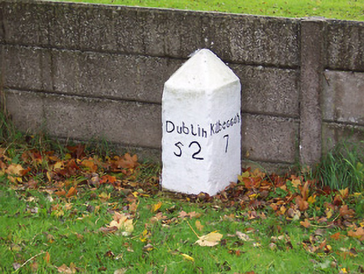 milestone/milepostmilestone/milepost · 1347 yd
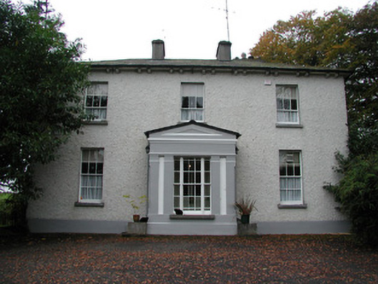 Spring Lawnhouse · 1.1 mi
 Bawn in Cartronkeel (clonlonan By.)Bawn · 1.3 mi
 Moate HillMountain / peak · 1.4 mi
 Charles BianconiMemorial · 1.5 mi
 The Bob Traynor GalleryGallery · 1.6 mi
 Dún na Sí Heritage CentreMuseum · 2.2 mi
 Roughan HillMountain / peak · 2.4 mi
 ToberaskeenSpring · 2.7 mi