What is recorded here
Fairy fort in Bawnboy, County Cork: a 22-metre earthen ring, 1.7 metres high, stone-faced outside, cut by a public road. The road killed the south half; the north bank still stands with a 5.5-metre gap to the northeast. Conifers grow inside now, and field rubble fills the northeast quadrant. Whatever life moved through that gap before the road came, the road took it without asking.
In pasture, on gentle N-facing slope. Originally circular area (diam. 22m E-W) enclosed by earthen bank (H 1.7m) W->E, stone-faced externally. Public roadway crosses interior on E-W axis; no visible surface trace of enclosure S of roadway. Gap in bank to NNE (Wth 5.5m). Interior planted with conifers; raised on N side to compensate for hill slope; field clearance material dumped in NE quadrant.
The above description is derived from the published 'Archaeological Inventory of County Cork. Volume 1: West Cork' (Dublin: Stationery Office, 1992). In certain instances the entries have been revised and updated in the light of recent research.
Date of upload/revision: 14 January 2009
The monument record does not grant public access. Check the route and ask the landowner before entering private land.
- What survives
- Recorded monument
Places near here
 Fulacht FianFulacht fia · 418 yd
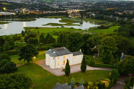 Man-made underground passage in Kilmore (carbery West (e.d) By.)Man-made underground passage · 566 yd
 Dromore Schoolschool · 1.5 mi
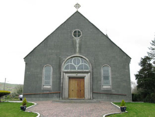 St. Joseph's Roman Catholic Churchchurch/chapel · 1.7 mi
 Moyny Bridge WalkWalking route · 2.0 mi
 Delish Cascade WalkWalking route · 2.3 mi
 Castle DonovanCastle · 2.4 mi
 Castle Donovan (in Ruins)Castle, tower house · 2.4 mi
 Francis O'Neill PlaqueMemorial · 2.6 mi
 Mullach MéiseMountain / peak · 3.0 mi
 Nowen Hill SW TopMountain / peak · 4.2 mi
 Snave StrandBeach / strand · 7.4 mi