What is recorded here
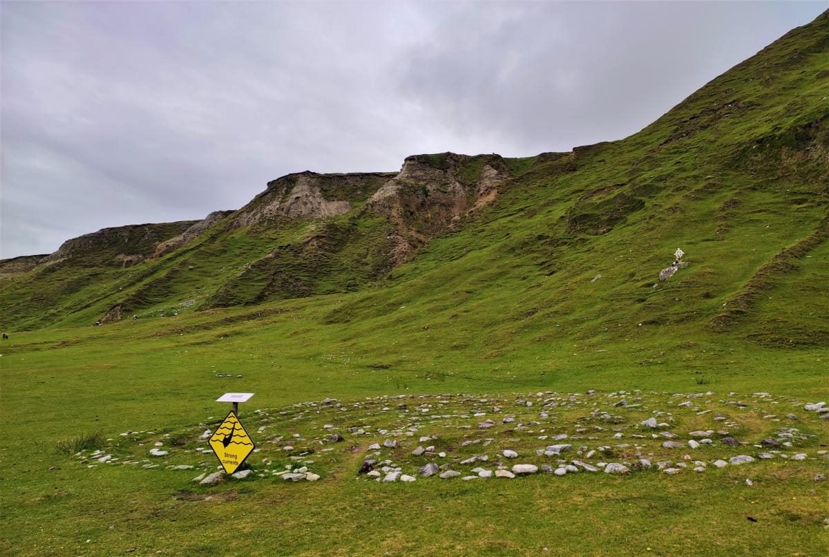
Barrahaurin holds a twenty-seven metre earthen ring beside the Dripsey River, its south-west entrance still visible through rough grazing. Cultivation ridges cross the interior, suggesting people lived there long before the fairies claimed the fort in local memory. The earth bank stands nearly a metre and a half high, shaping a small world where human labour and fantasy still occupy the same ground.
In rough grazing, c. 100m NE of Dripsey River. Circular area (diam. 27m) defined by earthen bank (H 1.48m); entrance to SW. Broad cultivation ridges cross interior; evidence for Man-made underground passage (CO050-045002-).
The above description is derived from the published 'Archaeological Inventory of County Cork. Volume 3: Mid Cork' (Dublin: Stationery Office, 1997). In certain instances the entries have been revised and updated in the light of recent research.
Date of upload/revision: 14 January 2009
The monument record does not grant public access. Check the route and ask the landowner before entering private land.
- What survives
- Recorded monument
Places near here
 Quarry in BarrahaurinQuarry · 940 yd
 IndicatedFairy fort / earthen ringfort · 1122 yd
 Fulachta FiadhFulacht fia · 1273 yd
 St Eolan's Roman Catholic Churchchurch/chapel · 1.7 mi
 Saint Bartholomew's WellSpring · 1.9 mi
 Knockduff Wind FarmVisitor information · 2.0 mi
 Knockcraugh HillMountain / peak · 3.0 mi
 New TipperaryVisitor information · 3.4 mi
 Oldcastle WoodWood · 4.0 mi
 Eagle's NestMountain / peak · 4.2 mi
 Mullinhassig WaterfallWaterfall · 5.0 mi
 Mullinhassig WoodWood · 5.0 mi