What is recorded here
Barnpark holds a subcircular ringfort twenty-six metres long on a grassy rise, its earth and stone bank still visible from the southwest though quarrying scarred the rest. People likely lived, argued and buried their days inside that shallow circle before taking stones elsewhere. The fort remains broad enough to walk across and quiet enough to hear the field breathe.
On a rise in undulating grassland. Subcircular ringfort (N-S 26m, E-W 21.5m), in fair condition, defined by a bank of earth and stone from SW to W, and elsewhere by a scarp. The monument has been extensively quarried.
The above description is derived from the published 'Archaeological Inventory of County Galway Vol. II - North Galway'. Compiled by Olive Alcock, Kathy de hÓra and Paul Gosling (Dublin: Stationery Office, 1999).
Date of upload: 05 August 2010
The monument record does not grant public access. Check the route and ask the landowner before entering private land.
- What survives
- Recorded monument
Places near here
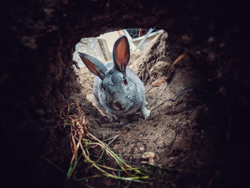 Rabbit BurrowFairy fort / earthen ringfort · 288 yd
 Caltraghgarraun FortFairy fort / earthen ringfort · 505 yd
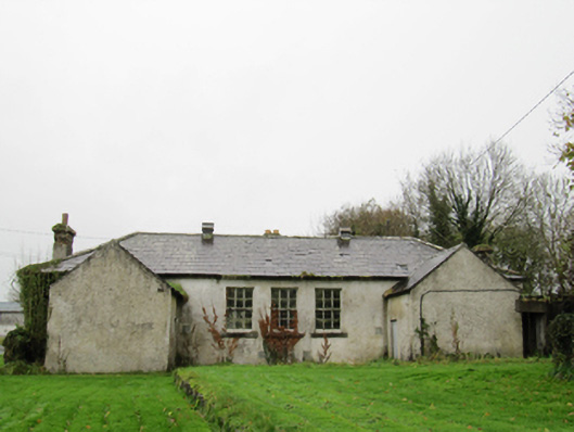 Clontuskert National Schoolschool · 1237 yd
 IndicatedHouse, vernacular house · 1337 yd
 European BeechEuropean Beech · 1.6 mi
 European YewEuropean Yew · 1.9 mi
 Ballagh Castle (in Ruins)Castle, unclassified · 2.1 mi
 Oghil Castle (in ruins)Castle, tower house · 2.1 mi
 Ardcarn IslandsIslet · 2.7 mi
 Urraghry HillMountain / peak · 3.3 mi
 The bloody HollowHeritage attraction · 3.8 mi
 Battle of AughrimMajor battlefield · 4.1 mi