What is recorded here
Fairy forts are no longer believed to be the homes of fairies. They are ancient ringforts, circular defensive settlements built by people. The fort in Barney was a real home or stronghold, likely occupied for generations before it was forgotten. It has since been levelled, but its shape remains marked in the land.
On a low rise in moderately drained pasture. Depicted as a circular enclosure with the designation 'Fort' on the 1837 ed. of the OS 6-inch map. The monument was levelled in the 1940s or 1950s (local information). However, a report in 1976 (SMR file) noted that the outline of a bank with an external fosse could still be traced enclosing a circular area (diam. c. 30m). It is visible at ground level.
Compiled by: Patrick F. O'Donovan
Date of upload: 26 November 2011
The monument record does not grant public access. Check the route and ask the landowner before entering private land.
- What survives
- Recorded monument
Places near here
 IndicatedEnclosure · 243 yd
 Enclosure in Cross (ardagh By.)Enclosure · 979 yd
 post boxpost box · 1498 yd
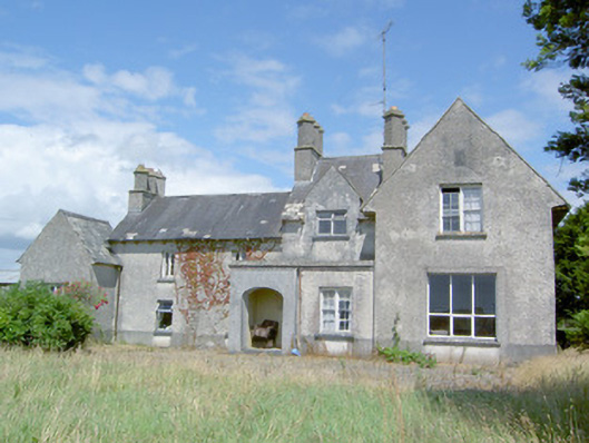 Sleehaun Househouse · 1.1 mi
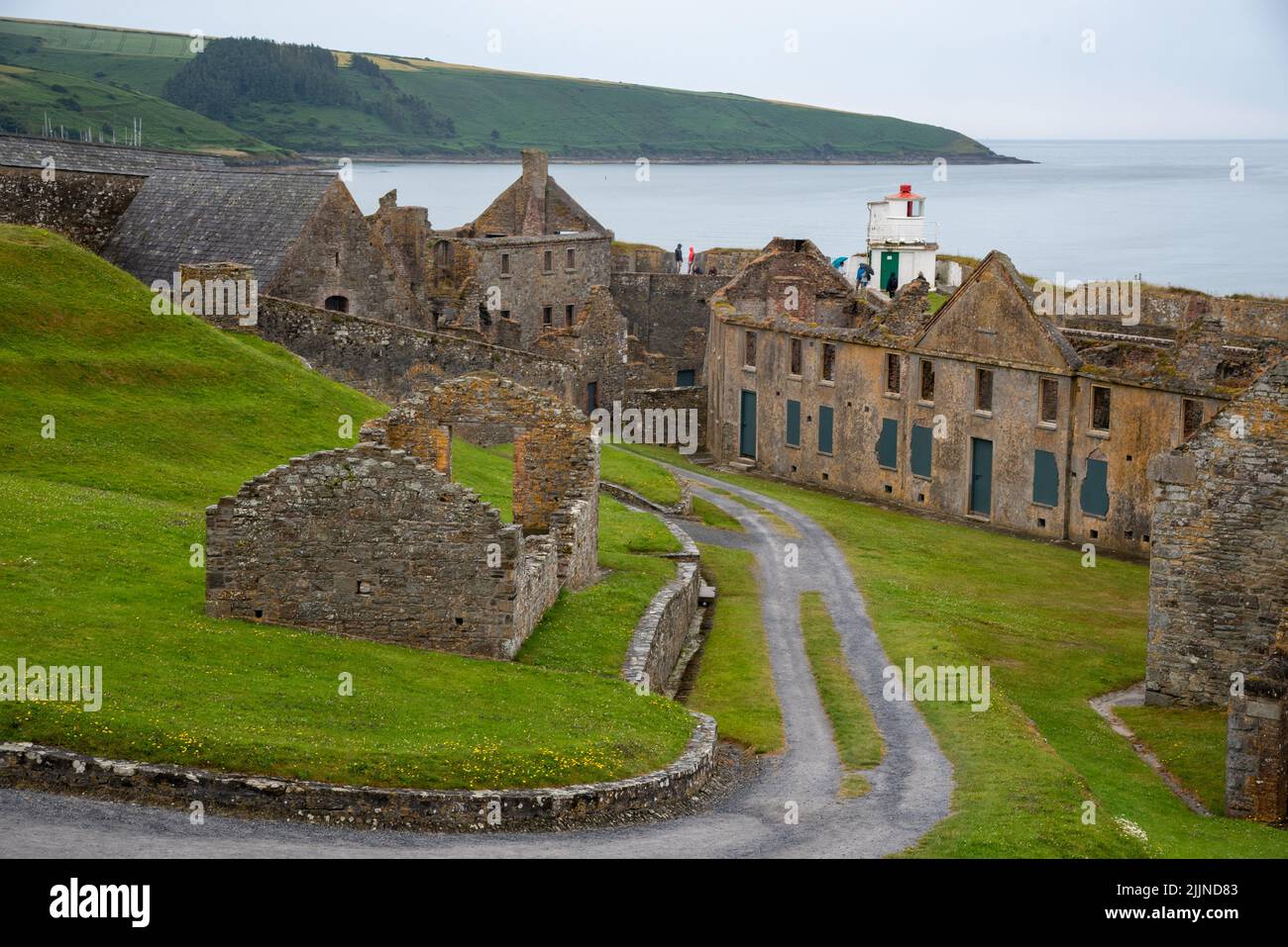 Fort, MoataphucaCastle, motte · 1.6 mi
 Ardagh DemesneFort · 1.6 mi
 Pedunculate OakPedunculate Oak · 2.4 mi
 Common AlderCommon Alder · 3.0 mi
 Edgeworthstown BypassMemorial · 3.1 mi
 National Famine WayWalking route · 4.5 mi
 Graveyard in Curry (ardagh By., Coolamber Ed)Graveyard · 7.3 mi
 Granard MotteMotte-and-bailey castle remains · 10 mi