What is recorded here
Half the ring vanished under plough and drain, but the northern bank still bumps the pasture like a buried heartbeat. A thirty-five metre circle once held lives, fires and arguments on that gentle slope, now reduced to a field boundary and a ghost of a ditch. The fairies kept what the farmers took, leaving behind a shape large enough to walk around but small enough to forget.
On a gentle SW-facing slope in pasture. Described in 1976 (SMR file) as a circular area (diam. c. 35m) enclosed by a bank and fosse. While the N half of the monument was incorported into two field boundaries, running along the NW and NE quadrants, some of the bank was evident. The fosse had been deepened as part of a field drain. The S half had been almost completely levelled and no visible surface trace now survives. An enclosure (LF09-088001-) lies immediately to the N of the field boundary along the NW quadrant. It relationship with the rath is unclear; it may be an annexe or later feature.
Compiled by: Patrick F. O'Donovan
Date of upload: 10 February 2012
The monument record does not grant public access. Check the route and ask the landowner before entering private land.
- What survives
- Recorded monument
Places near here
 IndicatedEnclosure · 32 yd
 Enclosure in Cross (ardagh By.)Enclosure · 766 yd
 post boxpost box · 1581 yd
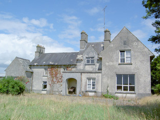 Sleehaun Househouse · 1.2 mi
 Ardagh DemesneFort · 1.5 mi
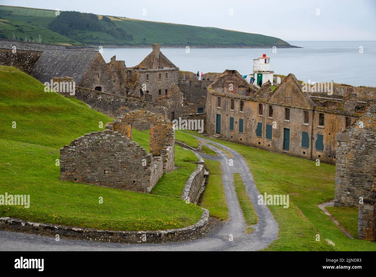 Fort, MoataphucaCastle, motte · 1.7 mi
 Pedunculate OakPedunculate Oak · 2.5 mi
 Oldtown CopseWood · 3.0 mi
 Edgeworthstown BypassMemorial · 3.1 mi
 National Famine WayWalking route · 4.4 mi
 Graveyard in Curry (ardagh By., Coolamber Ed)Graveyard · 7.2 mi
 Granard MotteMotte-and-bailey castle remains · 10 mi