What is recorded here
Barney’s fairy fort is a 34-metre earthen ring on a low ridge in County Longford, old enough to have lost its entrance but still holding its shape against pasture and forgetfulness. Inside the western edge, rock outcrops like a forgotten altar, perhaps a place where someone stood barefoot at dawn or listened for answer. The fairies may have taken the entry, but they left the circle behind, proud of a boundary they could not be bothered to explain.
At the S end of a low N-S ridge in pasture. A report in 1976 (SMR file) noted that this raised circular area (diam. c. 34m) was enclosed by a low bank of earth and stone and an external fosse. It is defined by a scarp (H 1-1.2m). The original entrance is not recognisable. Within the interior at W is an area of outcropping rock.
Compiled by: Patrick F. O'Donovan
Date of upload: 26 August 2011
A fairy fort or earthen ringfort in Barney is a likely early-medieval circular earthwork, defined by a bank, fosse, and scarp, typical of Irish raths used for habitation or ritual. Local tradition associates such sites with fairy folklore, suggesting they were homes of the "good people" or places of supernatural activity.
The monument record does not grant public access. Check the route and ask the landowner before entering private land.
- What survives
- Recorded monument
Places near here
 IndicatedEnclosure · 567 yd
 Enclosure in Cross (ardagh By.)Enclosure · 1283 yd
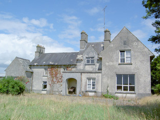 Sleehaun Househouse · 1528 yd
 post boxpost box · 1714 yd
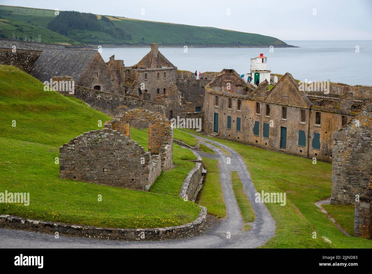 Fort, MoataphucaCastle, motte · 1.5 mi
 Ardagh DemesneFort · 1.8 mi
 Pedunculate OakPedunculate Oak · 2.2 mi
 Common AlderCommon Alder · 2.8 mi
 Edgeworthstown BypassMemorial · 3.2 mi
 National Famine WayWalking route · 4.6 mi
 Graveyard in Curry (ardagh By., Coolamber Ed)Graveyard · 7.5 mi
 Granard MotteMotte-and-bailey castle remains · 10 mi