What is recorded here
Fairy fort in Barney, County Longford: a 40m earthen ring, partly swallowed by pasture and field boundaries. Its entrance has vanished under grass and change, but the circular ridge still holds its shape in low ground. People may have lived there, marked it, or feared it; the land kept the circle while memory thinned.
In low-lying pasture. A raised circular area (diam. c. 40m) enclosed by a low bank of earth and stone (Wth c. 3.5-4m; H 0.2-0.4m) that has been modified and incorporated into a field boundary from ESE-S-N. The original entrance is not recognisable. A report in 1976 (SMR file) noted the presence of a wide, shallow, external fosse. The rath is densely overgrown with vegetation.
Compiled by: Patrick F. O'Donovan
Date of upload: 26 August 2011
The monument record does not grant public access. Check the route and ask the landowner before entering private land.
- What survives
- Recorded monument
Places near here
 IndicatedEnclosure · 349 yd
 Enclosure in Cross (ardagh By.)Enclosure · 735 yd
 post boxpost box · 1288 yd
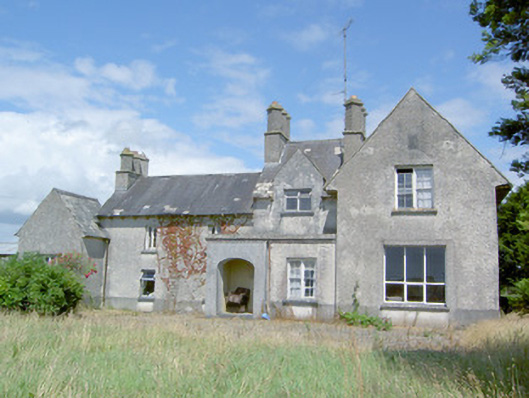 Sleehaun Househouse · 1.3 mi
 Ardagh DemesneFort · 1.4 mi
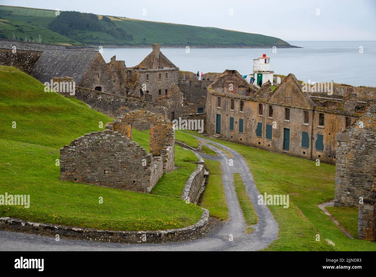 Fort, MoataphucaCastle, motte · 1.7 mi
 Pedunculate OakPedunculate Oak · 2.7 mi
 Oldtown CopseWood · 2.8 mi
 Edgeworthstown BypassMemorial · 3.0 mi
 National Famine WayWalking route · 4.4 mi
 Graveyard in Curry (ardagh By., Coolamber Ed)Graveyard · 7.2 mi
 Granard MotteMotte-and-bailey castle remains · 10 mi