What is recorded here
Barnabrow held a thirty-metre circular enclosure on a south-facing slope before ploughing erased it. Two other rings still mark the land nearby, suggesting a small cluster rather than a lonely outpost. The fort likely gave people shelter, storage or identity during centuries when local power depended on visible boundaries. Its disappearance does not remove it from the story; it returns the place to imagination and memory.
In tillage, on S-facing slope. Shown on 1842 OS 6-inch map as circular enclosure (diam. c. 30m). Levelled; no visible surface trace. Two circular enclosures (CO077-028---; CO077-027---) c. 120m and c. 260m to NE, respectively.
The above description is derived from the published 'Archaeological Inventory of County Cork. Volume 2: East and South Cork' (Dublin: Stationery Office, 1994). In certain instances the entries have been revised and updated in the light of recent research.
Date of upload/revision: 14 January 2009
The monument record does not grant public access. Check the route and ask the landowner before entering private land.
- What survives
- Recorded monument
Places near here
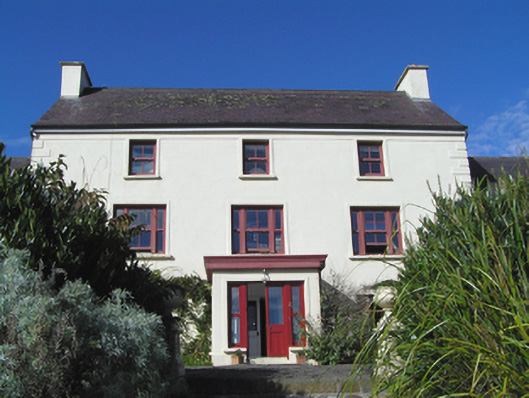 Barnabrow Housecountry house · 1279 yd
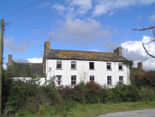 Kilbree Housecountry house · 1633 yd
 CastleCastle, tower house · 1.3 mi
 Enclosure in BallybranaghEnclosure · 1.4 mi
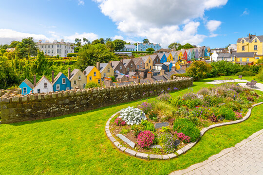 IndicatedStructure · 1.4 mi
 Ballintotis CastleCastle · 2.1 mi
 PohutukawaPohutukawa · 2.5 mi
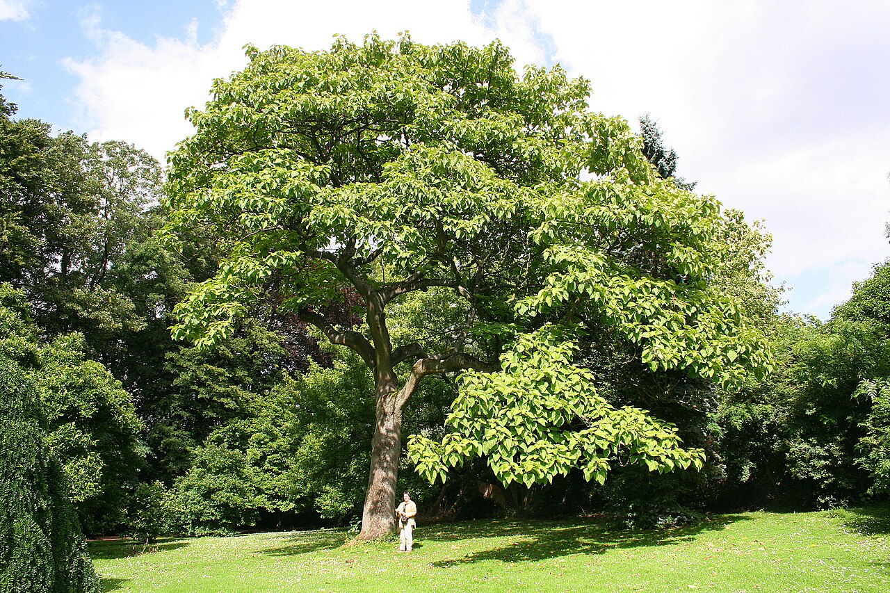 PrincesstreePrincesstree · 2.5 mi
 N25 Picnic SitePicnic place · 2.6 mi
 William Heffernan MemorialMemorial · 3.0 mi
 Edward BransfieldMemorial · 3.2 mi
 Noel Collins BridgeVisitor information · 3.9 mi