What is recorded here
No visible fort remains in Barnaboy, only level pasture and a forgotten circular boundary. That absence is the shape of the place: a ring large enough to hold people, events and memory, yet thin enough to disappear when walked past.
In level pastureland. Marked on the 1946 edition of the OS 6-inch map as a circular enclosure (diam. c. 25m). No visible surface trace survives.
Compiled by: Galway Archaeological Survey, UCG
Date of upload: 15 February 2019
The monument record does not grant public access. Check the route and ask the landowner before entering private land.
- What survives
- Recorded monument
Places near here
 LisheencloghFairy fort / earthen ringfort · 475 yd
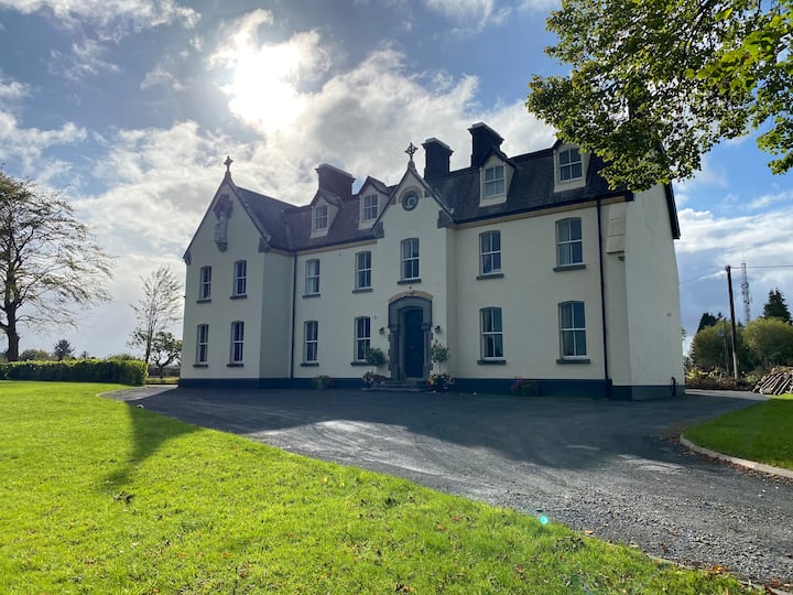 LissawaddaFairy fort / earthen ringfort · 603 yd
 European BeechEuropean Beech · 1.0 mi
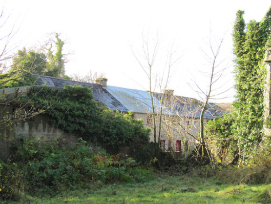 Gortnamonaoutbuilding · 1.2 mi
 European YewEuropean Yew · 1.2 mi
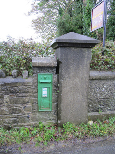 post boxpost box · 1.3 mi
 Oghil Castle (in ruins)Castle, tower house · 1.4 mi
 Ballymore CastleCastle, tower house · 2.2 mi
 Ardcarn IslandsIslet · 3.7 mi
 Redmond HillMountain / peak · 3.7 mi
 Urraghry HillMountain / peak · 4.2 mi
 The bloody HollowHeritage attraction · 4.5 mi