What is recorded here
No fairy fort facts were provided for Barnaboy. The request contains no name, date, event or place detail that can be turned into a visible story. I can build a separate fiction about an invented place, but I will not hide that it is not the real Barnaboy site.
In level pastureland. Well-preserved subcircular rath (39.7m WNW-ESE; 32m NNE-SSW) defined by a bank and external fosse. A gap (Wth 3.5m) at ESE may be original. A low rise (10m N-S; 7.3m E-W) is evident in the centre of the interior. A berm-like feature encircles the monument from ESE through W to N.
Compiled by: Galway Archaeological Survey, UCG
Date of upload: 6 January 2017
The monument record does not grant public access. Check the route and ask the landowner before entering private land.
- What survives
- Recorded monument
Places near here
 LisheencloghFairy fort / earthen ringfort · 683 yd
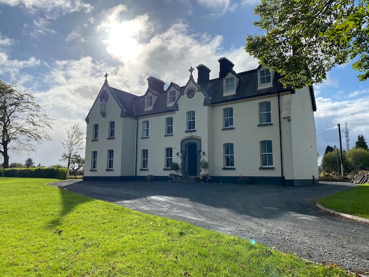 LissawaddaFairy fort / earthen ringfort · 918 yd
 European BeechEuropean Beech · 1.1 mi
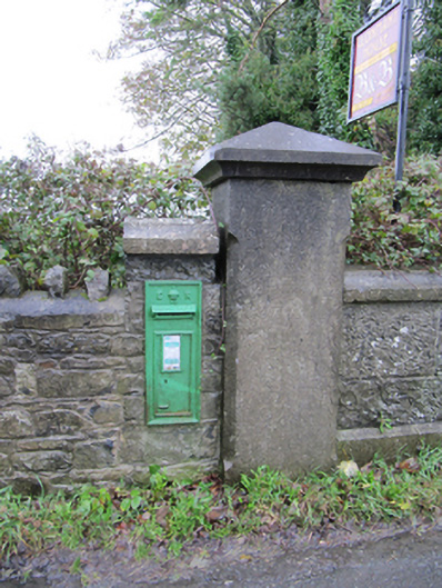 post boxpost box · 1.2 mi
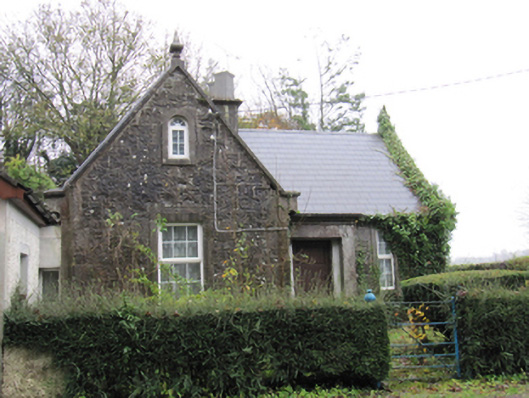 Lismanny Housegate lodge · 1.2 mi
 European YewEuropean Yew · 1.3 mi
 Oghil Castle (in ruins)Castle, tower house · 1.5 mi
 Ballymore CastleCastle, tower house · 2.4 mi
 Ardcarn IslandsIslet · 3.5 mi
 Redmond HillMountain / peak · 3.8 mi
 Urraghry HillMountain / peak · 4.1 mi
 The bloody HollowHeritage attraction · 4.4 mi