What is recorded here
Fairy fort / earthen ringfort in Banada is a fairy fort or earthen ringfort in Banada, County Roscommon, Ireland. The D-shaped grass-covered area measures 30m north-south and 19m east-west on the south side of a slight ridge. A narrow scarp and wider southern bank define the enclosure, though field and road banks truncate its eastern and northern edges. Eugene Duffy first reported the site, which remains well known locally as a rath.
Situated on the S side of a very slight E-W ridge. It is visible now as a D-shaped grass-covered area (dims 30m N-S; 19m E-W) defined by a slight scarp (Wth 1.3-2m; H 0.1-0.2m) SSE-NW that is separated by a berm (at S: Wth 5m) from a second scarp (at S: Wth 5.7m; H 0.6m) that is only clearly visible at S. The enclosure is truncated by a N-S field bank at E and an E-W road bank at N, but there is no evidence of the enclosure E of the field bank. This is well known locally as the site of a rath, and it was first reported by Eugene Duffy.
Compiled by: Michael Moore
Date of upload; 8 September 2020
The monument record does not grant public access. Check the route and ask the landowner before entering private land.
- What survives
- Recorded monument
Places near here
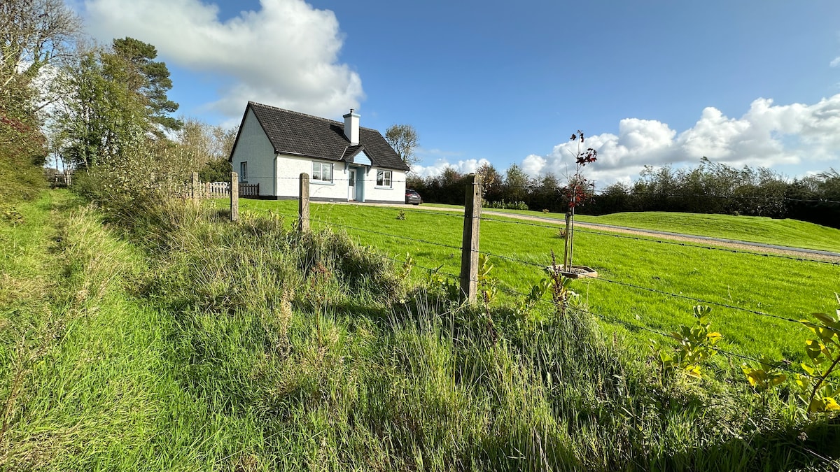 Embanked enclosureFairy fort / earthen ringfort · 474 yd
 Kilcolman ChurchChurch · 1748 yd
 CastleCastle, unclassified · 1.0 mi
 Enclosure in ToobrackanEnclosure · 1.2 mi
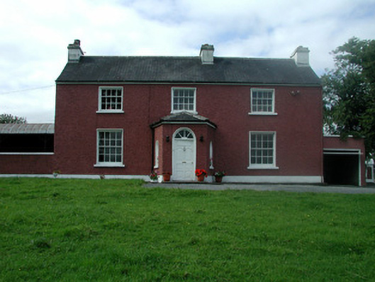 Beech Mounthouse · 1.3 mi
 Casatle (ruins)Castle, unclassified · 2.3 mi
 Bockagh HillMountain / peak · 3.7 mi
 Fairymount HillMountain / peak · 4.4 mi
 Bawn IslandIslet · 4.4 mi
 Druminagh WoodForest · 4.5 mi
 Rose PointHeadland · 5.2 mi
 Castle PointHeadland · 5.5 mi