What is recorded here
Situated on a low ridge, in pasture. Annotated 'Fort' on the 1837 OS Fair Plan map and depicted as a large, roughly circular-shaped enclosure. A path is also shown leading up to the site at SW and a gravel pit outside the perimeter at NE.
Monument described in 1981 as a subcircular-shaped area (dims. 36.5m NW-SE) enclosed by an earthen bank, an intervening fosse and suggestions of an outer bank. The inner bank (ext. H 3.5m) is substantial. There are slight traces of a fosse (Wth 3m). There are remnants of an outer bank in places, although this is very degraded. There is a gap in the inner bank at E which indicates an entrance. The surface of the interior is very uneven and obscured by overgrowth. This earthwork is bisected by a field fence which runs NE-SW across the site. Monument is visible as a tree-lined earthwork on Digital Globe aerial photography.
See attached plan of monument surveyed and drawn by the ASI
Compiled by: Alison McQueen, Vera Rahilly and Caimin O’Brien
Date of upload: 06 June 2019
The monument record does not grant public access. Check the route and ask the landowner before entering private land.
- What survives
- Recorded monument
Places near here
 Hut site in Balrath EastHut site · 381 yd
 Reynella Cottageoutbuilding · 612 yd
 IndicatedFairy fort / earthen ringfort · 971 yd
 CastleCastle, motte · 1299 yd
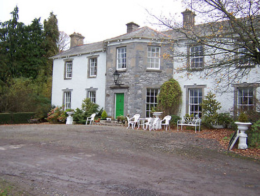 Reynella Housecountry house · 1434 yd
 GinkgoGinkgo · 1475 yd
 DardistownCastle, unclassified · 1.2 mi
 ScregganWood · 5.5 mi
 Kells HillMountain / peak · 9.1 mi
 Seafin HillMountain / peak · 9.7 mi
 Croppies' GraveMemorial · 11 mi
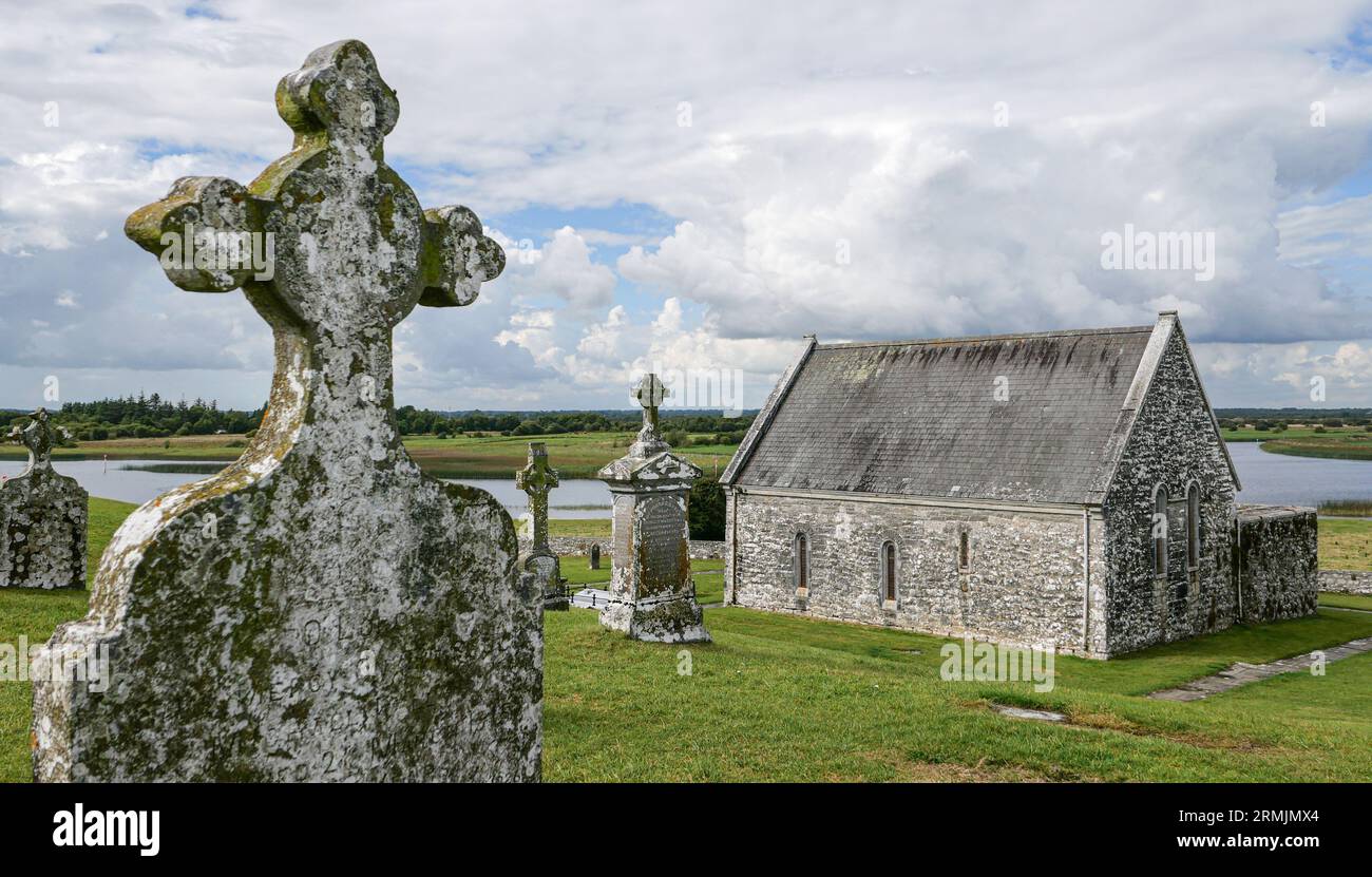 Ecclesiastical enclosure in ClonlostEcclesiastical enclosure · 1694 yd