What is recorded here
On a SW-facing slope below crest of slope in undulating terrain under lush meadow. Located c. 100m SW of a possible earthwork (TS073-002----). As depicted on the 2nd (1906) ed. OS 6-inch map, only the E half of the monument survives. A field boundary which ran NW-SE along outer NE quadrant has been removed. A ringfort (diam. 31m N-S) defined by a round-topped earthen bank (Wth 7.9m; int. H 1.75m; ext. H 2.68m) which falls sharply to exterior, the outer face has been truncated by cattle with bank material exposed. Some scrub on the bank and brambles in the NE quadrant and on the external face of the bank in SE. There is a gap (Wth 2.1m) in the E quadrant.
Compiled by: Jean Farrelly
Date of upload: 26 August 2011
This remains an important historical record, but the official description says the monument is no longer visible or has been destroyed. The monument record does not grant public access. Check the route and ask the landowner before entering private land.
- What survives
- No visible remains or recorded as destroyed
Places near here
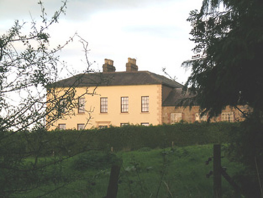 Ballywire Househouse · 921 yd
 Enclosure in AnnaghEnclosure · 1338 yd
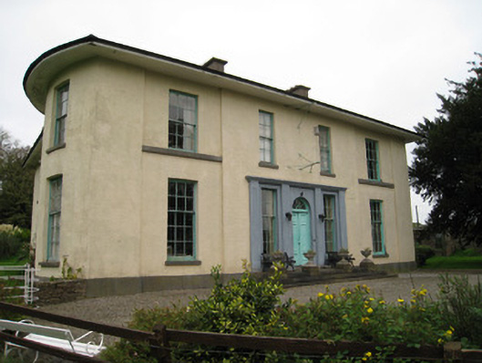 Glenefyhouse · 1447 yd
 BarrowBarrow, unclassified · 1563 yd
 Duntryleague HillMountain / peak · 1.4 mi
 Darby's Bed Walk LoopWalking route · 1.4 mi
 Carn (site of)Cairn, burial cairn · 1.9 mi
 Duntryleague - hachuredCastle, ringwork · 2.2 mi
 Ryves CastleCastle, unclassified · 2.8 mi
 SlievenamuckMountain / peak · 3.0 mi
 Saint Patrick's WellSpring · 3.4 mi
 Bansha ForestForest · 4.3 mi