What is recorded here
Ballyvoghan held a forty-metre earthen ring on a sunny slope before the road cut through its east side and ploughs softened the rest. A seven-foot scarped arc still stands from south-southeast to west, marking the boundary of a home that likely watched the valley for generations. The fairies may have taken the rest, but human hands built the visible remains and the land remembers their shape beneath the grass.
In pasture, on S-facing slope and immediately W of road. Monument, depicted as circular enclosure (diam. c. 40m) truncated at E by roadway on 1841 OS 6-inch map, has been partially levelled. However, arc of scarped edge (H 0.7m; Wth 6m; C c. 27m) survives SSE->W. Otherwise site level and under grass.
Compiled by: Denis Power
Date of upload: 26 August 2011
The monument record does not grant public access. Check the route and ask the landowner before entering private land.
- What survives
- Recorded monument
Places near here
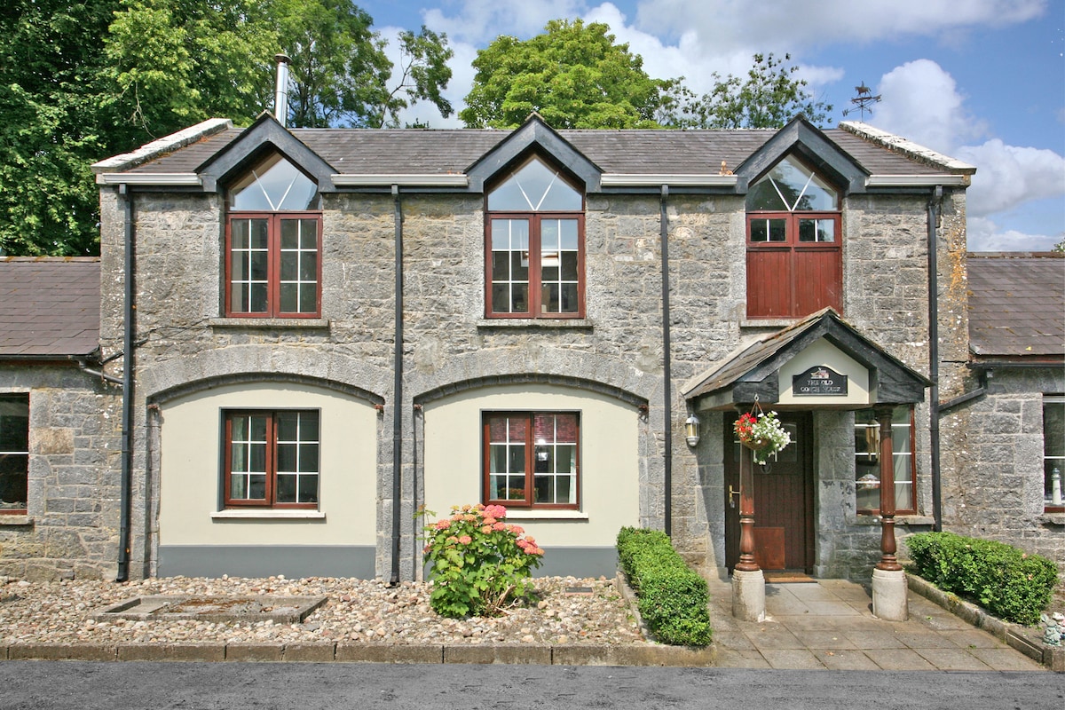 Enclosure in CahermoyleEnclosure · 640 yd
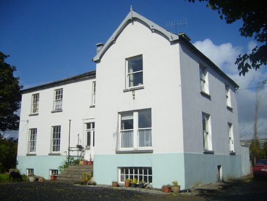 Rathronan Houserectory/glebe/vicarage/curate's house · 674 yd
 KyleArchaeological place · 792 yd
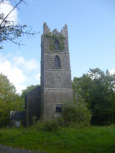 Rathronan Churchchurch/chapel · 871 yd
 CahermoyleCastle, unclassified · 1134 yd
 St. Luke's WellSpring · 1421 yd
 Castle (in ruins)Castle, tower house · 1689 yd
 St. Kieran's WellSpring · 2.5 mi
 European ashEuropean ash · 4.8 mi
 Limerick GreenwayWalking route · 5.1 mi
 Sugar HillMountain / peak · 6.8 mi
 Monterey CypressMonterey Cypress · 7.4 mi