What is recorded here
Fairy forts are often little more than a memory of a circle, but Ballyvisteale still holds a ghost of one. The ringfort stood on a west-facing slope, wide enough to walk twice around before it disappeared under the plough. Local people still claim stones surface after rain, as if the earth remembers what it swallowed. A standing stone waits a short distance north, guarding nothing anyone can point to.
On W-facing slope. Shown on 1842 OS 6-inch map as circular enclosure (diam. c. 35m). Levelled; no visible surface trace. According to local information, stone spread visible after ploughing. Associated with possible Man-made underground passage (CO064-058002-). Standing stone (CO064-059---) c. 130m to N.
The above description is derived from the published 'Archaeological Inventory of County Cork. Volume 2: East and South Cork' (Dublin: Stationery Office, 1994). In certain instances the entries have been revised and updated in the light of recent research.
Date of upload/revision: 14 January 2009
The monument record does not grant public access. Check the route and ask the landowner before entering private land.
- What survives
- Recorded monument
Places near here
 Quarry in BrookvilleQuarry · 567 yd
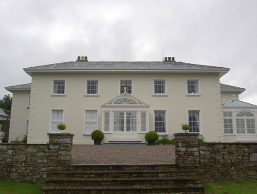 Brookvillecountry house · 587 yd
 Carberrytown WoodWood · 1276 yd
 Old Court (Site of)Castle, unclassified · 1541 yd
 Sweathouse in Hermitage (barrymore By.)Sweathouse · 1.1 mi
 Site of Grave YardBurial ground · 1.4 mi
 Gleeson MemorialMemorial · 1.4 mi
 Sarsfields Court (in Ruins)Castle, unclassified · 1.7 mi
 Cork WalksVisitor information · 5.3 mi
 Tourist OfficeVisitor information · 5.5 mi
 Lavitts QuayMemorial · 5.6 mi
 KilnKiln, corn-drying · 611 yd