
What is recorded here
This corn-drying kiln was discovered in 1999 during topsoil stripping in advance of the construction of the Little Island to Ballincollig gas pipeline. It was situated on the lower slopes of a NNW-SSE ridge. Excavation revealed a complete kiln comprising a lintelled flue (L 1.7m NE-SW; max. Wth 0.8m; max H 0.6m), an open-topped bowl (max. diam. 1.62m), a stoke-hole and a fire-pit. In an unusual development, according to the excavator (Clinton 2000, 23), the flue and bowl were positioned in a P-shaped configuration. The floor level of the flue maintained a relatively even profile. Five lintels remained in situ, though these had been severely damaged by the weight of heavy machinery. The bowl was almost circular in plan with outwardly battered sides, resulting in the diameter at floor level being reduced to between 1.2 and 1.26m. According to Clinton (ibid.), the original height of the bowl measured 0.8m. A loosely set cobbled layer was situated at the base of the bowl. A deliberate arrangement of large rocks had been placed at its junction with the flue. According to Clinton (ibid.), these probably acted as a crude filter that prevented flying embers from entering the bowl.
The above description is derived from 'The Archaeological Inventory of County Cork. Volume 5' (Dublin: Stationery Office, 2009).
Date of upload: 22 December 2009
The monument record does not grant public access. Check the route and ask the landowner before entering private land.
- What survives
- Recorded monument
Places near here
 Quarry in BrookvilleQuarry · 249 yd
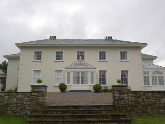 Brookvillecountry house · 710 yd
 Old Court (Site of)Castle, unclassified · 1156 yd
 Carberrytown WoodWood · 1335 yd
 Sweathouse in Hermitage (barrymore By.)Sweathouse · 1448 yd
 Site of Grave YardBurial ground · 1.2 mi
 Sarsfields Court (in Ruins)Castle, unclassified · 1.5 mi
 Gleeson MemorialMemorial · 1.7 mi
 Ashbourne ParkWood · 2.6 mi
 Cork WalksVisitor information · 5.0 mi
 Lavitts QuayMemorial · 5.3 mi
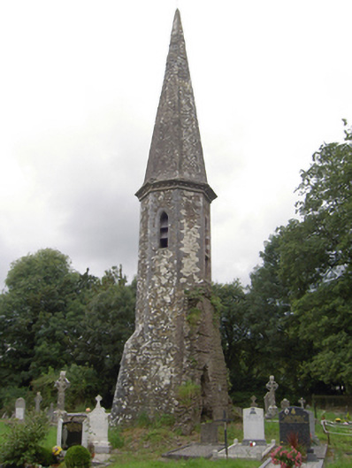 church/chapelchurch/chapel · 830 yd
Other information
Photo: Credit not shown in the picture search · Rights wording not checked; contact us if this picture should be removed