What is recorded here
Mortons and others may have spurned the fort, but it still stands at the junction of four fields, a 42-metre circle of earth and stone on a gentle west-facing slope. Two gaps face northeast and south, joined by a trackway that cuts across the interior like a breath drawn through a living body. The outer ditch has filled with vegetation, and the bank wears large stones like teeth, yet the shape remains clear enough to walk without hesitation. What was refused may have been recorded instead, transformed into a visible marker rather than a buried victim.
In pasture at the junction of four fields, on gentle W-facing slope. Circular, slightly raised area (42m N-S; 42m E-W) enclosed by earthen bank(int. H 1.4m) faced with large stones; external fosse (D 1.1m) heavily overgrown. Breaks in bank to NE and S, joined by trackway crossing interior. Possible Man-made underground passage (CO094-09802-) in interior.
The above description is derived from the published 'Archaeological Inventory of County Cork. Volume 1: West Cork' (Dublin: Stationery Office, 1992). In certain instances the entries have been revised and updated in the light of recent research.
Date of upload/revision: 14 January 2009
The monument record does not grant public access. Check the route and ask the landowner before entering private land.
- What survives
- Recorded monument
Places near here
 OCrowleys ChamberMan-made underground passage · 621 yd
 IndicatedFairy fort / earthen ringfort · 991 yd
 monumentmonument · 1026 yd
 Castle RockNamed rock · 1.0 mi
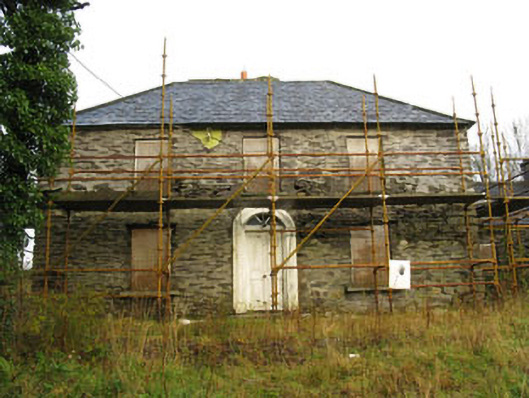 Tower Viewhouse · 1.1 mi
 OCrowleys Castle (in Ruins)Castle, tower house · 2.3 mi
 Irish National Forestry FoundationNature reserve · 3.0 mi
 Kilmichael Ambushambush · 3.7 mi
 Kilmichael Ambush SiteMonument · 3.7 mi
 Green HillMountain / peak · 4.3 mi
 The GlenWood · 4.6 mi
 Ballynacarriga CastleCastle, tower house · 4.9 mi