What is recorded here
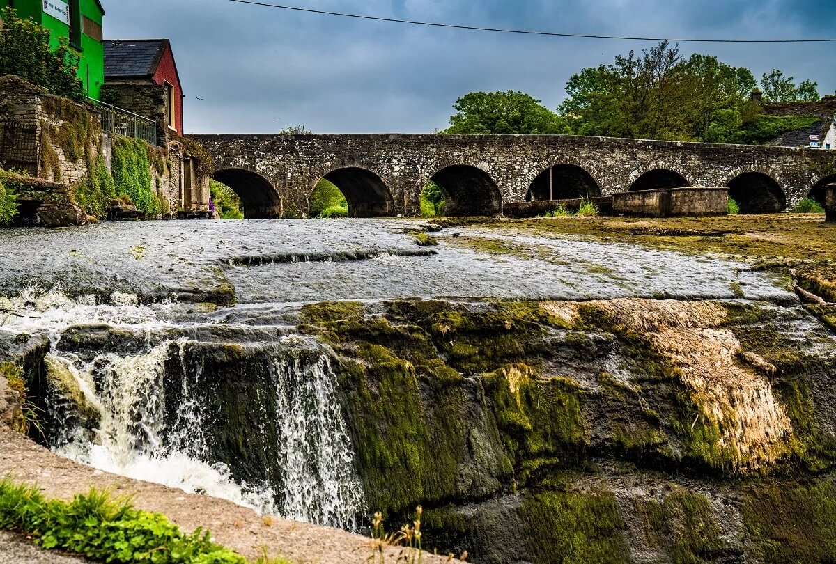
Clearwater cliffs, broken glass beaches, and hidden coves dot the coast. Each area keeps its own identity, from tiny villages to busy town centres. People still use the shoreline for walking, fishing, and remembering local events. The region remains a place where nature, history, and daily life meet.
The Archaeological Survey of Ireland (ASI) is in the process of providing information on all monuments on The Historic Environment Viewer (HEV). Currently the information for this record has not been uploaded. To access available information for research purposes please make an appointment in advance with the Archive Unit (open Fridays 10.00 am – 5.00 pm), Department of Housing, Local Government and Heritage, The Custom House, Dublin 1 D01W6XO or email NMarchive@housing.gov.ie.
The monument record does not grant public access. Check the route and ask the landowner before entering private land.
- What survives
- Recorded monument
Places near here
 IndicatedFairy fort / earthen ringfort · 1008 yd
 Enclosure in Caher (bunratty Upper By.)Enclosure · 1.3 mi
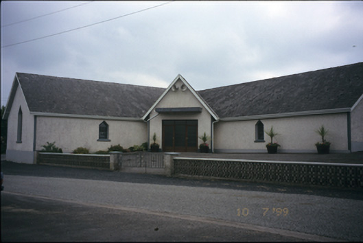 Catholic Church of the Immaculate Conceptionchurch/chapel · 1.5 mi
 Mulkere MemorialMemorial · 1.6 mi
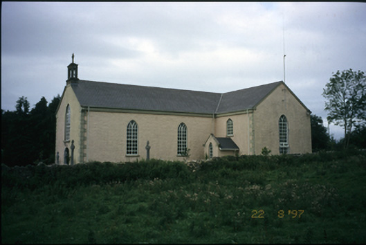 Saint Cronan's Catholic Churchchurch/chapel · 1.8 mi
 Castle (in ruins)Castle, unclassified · 2.0 mi
 Derrymore WoodWood · 2.4 mi
 Bawn in Castlequarter (inchiquin By.)Bawn · 3.1 mi
 Dromore WoodWood · 4.7 mi
 Battle of TullyodeaBattlefield · 6.4 mi
 Mullagh MoreMountain / peak · 7.5 mi
 Kilmacduagh Monastic SiteVisitor information · 7.5 mi