What is recorded here
Situated on a slight rise in an undulating landscape. The cropmark of a circular enclosure (diam. c. 33m) defined by what might be a single bank feature is visible on aerial photographs (ASIAP, WX 96, 31-3). Archaeological testing (03E0557) c. 50m to the NW at the closest point failed to produce archaeological material (McCarthy 2003; xxcavations.ie 2003:2009).
The above description is derived from the published 'Archaeological Inventory of County Wexford' (Dublin: Stationery Office, 1996). In certain instances the entries have been revised and updated in the light of recent research.
Compiled by: Michael Moore
Date of upload: 5 September, 2012
Amended: 30 November 2020
The monument record does not grant public access. Check the route and ask the landowner before entering private land.
- What survives
- Recorded monument
Places near here
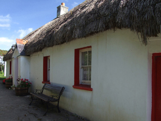 Little Thatchhouse · 932 yd
 CastleCastle, unclassified · 1143 yd
 Stone CrossesCross · 1224 yd
 Ballyvalloo Church (in ruins)Church · 1257 yd
 Site of Ballinesker CastleHouse, 17th century · 1.3 mi
 71Mountain / peak · 1.3 mi
 Ballinesker BeachBeach / strand · 1.4 mi
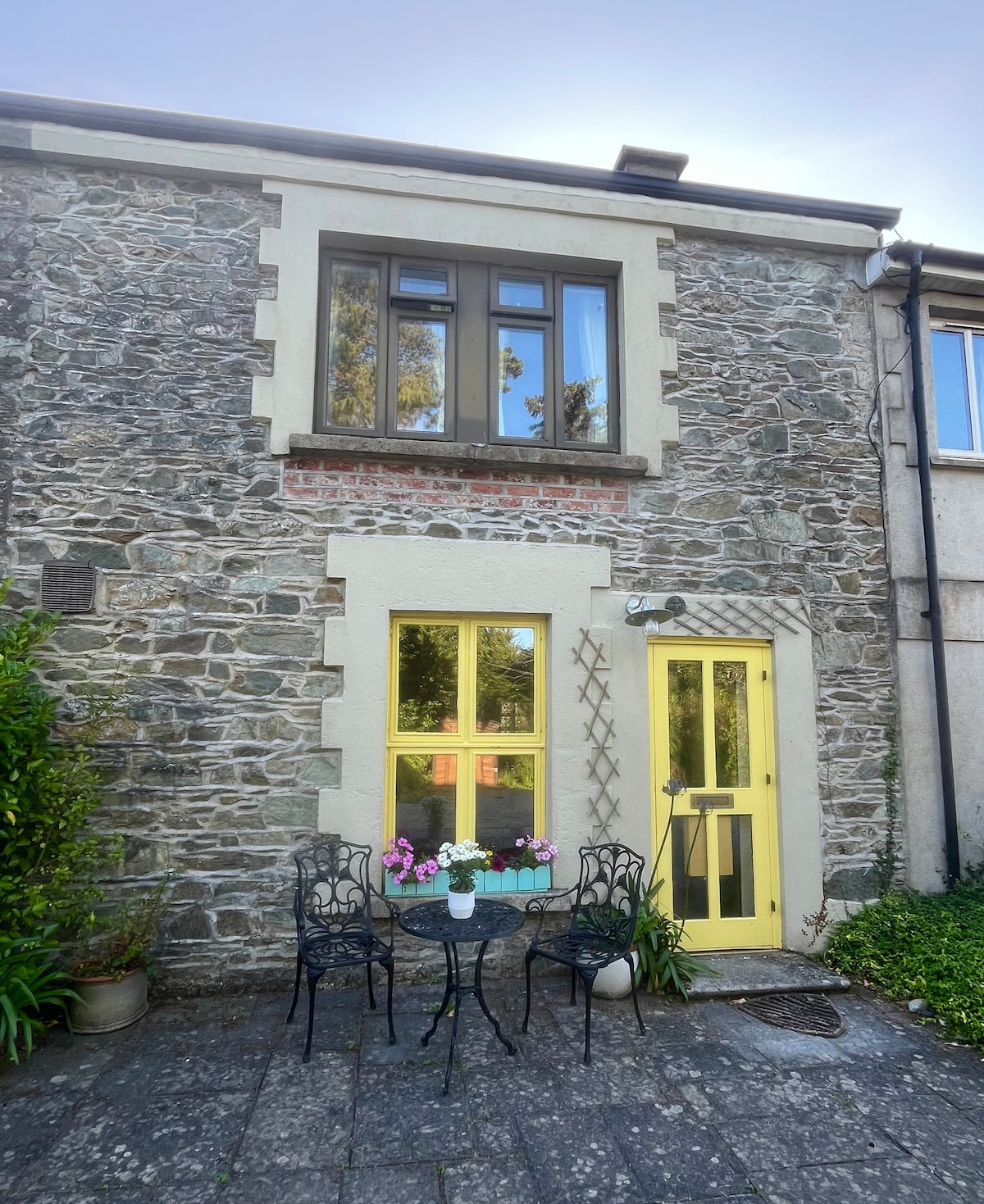 IndicatedCastle, motte · 1.6 mi
 1798 MemorialMemorial · 1.9 mi
 Blackwater Coastal Erosion Monitoring PointViewpoint · 2.1 mi
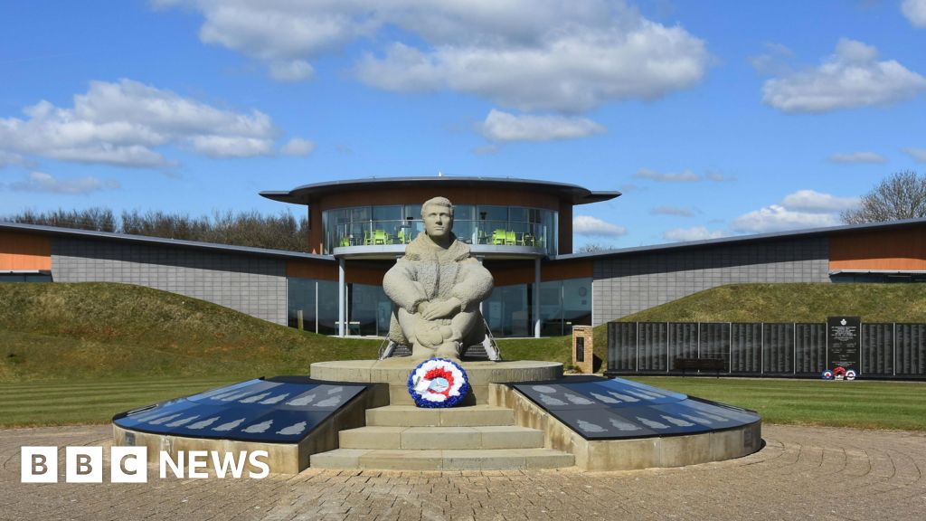 Memorial to The PomonaMemorial · 2.2 mi
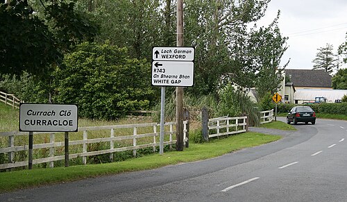 Curracloe BeachBeach / strand · 2.3 mi