
What is recorded here
Situated on a slight rise in a low-lying landscape with the sea-shore c. 300m to the SE. The parish church of Ballyvalloo parish is within a raised oval graveyard (dims. 35m E-W; 23m N-S) defined by a masonry wall. According to a Visitation by Thomas Ram, the Protestant bishop of Ferns, in 1615 it was impropriate to a leper hospital, Nicholas Rochford was the curate, and the church and chancel were in repair (Hore 1900-11, vol. 6, 271). The grass covered spread (Wth c. 3m) of the walls of a nave (ext. dims 10.5m E-W; 9.3m N-S), and a chancel (ext. dims 7.7m E-W; 5.4m N-S) of mortared shale walls (H 3m; T 0.7m) survive. An ivy-covered rounded chancel arch (Wth 1.63m) of uncut stone and a destroyed window opening in the E wall of the chancel are the only features. The site of St Peter's Well, at which patterns were held on 29th June in the 19th century according to John O’Donovan writing c. 1840 (O'Flanagan 1933, vol. 1, 353), is c. 100m to the E but its precise location is not known.
The above description is derived from the published 'Archaeological Inventory of County Wexford' (Dublin: Stationery Office, 1996). In certain instances the entries have been revised and updated in the light of recent research.
Compiled by: Michael Moore
Date of upload/revision: 5 September, 2012
Amended: 4 Sep. 2013
The monument record does not grant public access. Check the route and ask the landowner before entering private land.
- What survives
- Recorded monument
Places near here
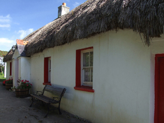 Little Thatchhouse · 583 yd
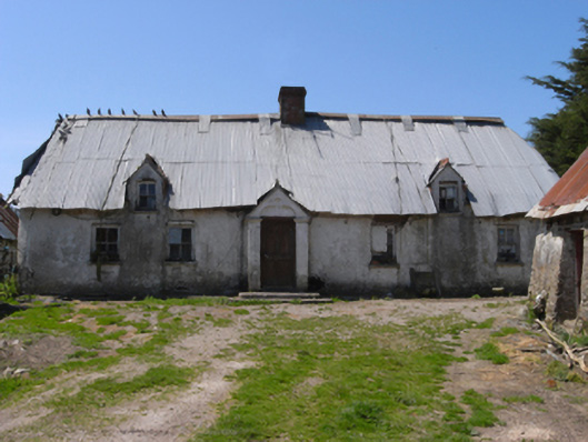 farm housefarm house · 947 yd
 Stone CrossesCross · 1267 yd
 Site of Ballinesker CastleHouse, 17th century · 1739 yd
 Ballinesker BeachBeach / strand · 1.1 mi
 CastleCastle, unclassified · 1.3 mi
 71Mountain / peak · 1.4 mi
 Blackwater Coastal Erosion Monitoring PointViewpoint · 1.8 mi
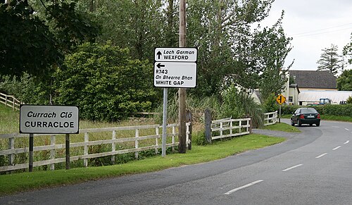 Curracloe BeachBeach / strand · 2.0 mi
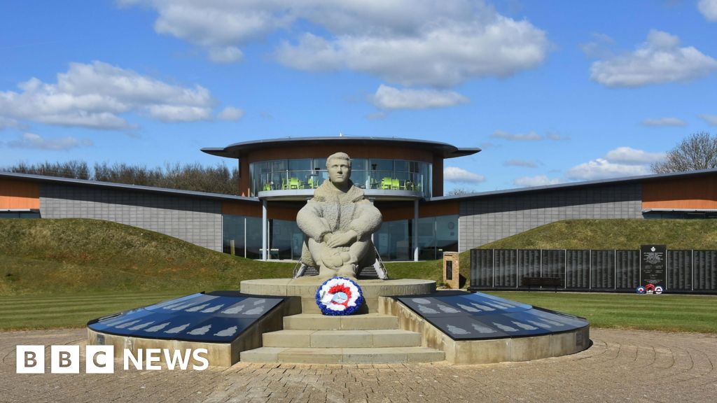 Memorial to The PomonaMemorial · 2.3 mi
 1798 Insurrection MemorialMemorial · 2.4 mi
 Raven Point Nature ReserveForest · 3.5 mi
Other information
Photo: Credit not shown in the picture search · Rights wording not checked; contact us if this picture should be removed