What is recorded here
Situated on a SE-facing slope. The cropmark of subrectangular enclosure (dims. c. 50m WNW-ESE; c. 40m NNE-SSW) defined by a wide fosse feature (Wth c. 3-5m) is visible on aerial photographs (MM (6) 8-9; ASIAP (5) 19-27; (226) 18, 19, 21). Rath (WX048-124----) is c. 170m to the NE, and the large double-banked ceremonial enclosure (WX048-049----) is c. 450m to the WSW.
The abpve description is derived from the published 'Archaeological Inventory of County Wexford' (Dublin: Stationery Office, 1996). In certain instances the entries have been revised and updated in the light of recent research.
Compiled by: Michael Moore
Date of upload/revision: 6 January, 2014
The monument record does not grant public access. Check the route and ask the landowner before entering private land.
- What survives
- Recorded monument
Places near here
 The Fairy Stone/RockNamed rock · 207 yd
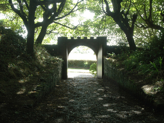 Ballytrent Housewalled garden · 562 yd
 milestone/milepostmilestone/milepost · 696 yd
 INdicatedFairy fort / earthen ringfort · 726 yd
 St. Helens WellHoly well · 1263 yd
 Shernock Hill/Knocks HillMountain / peak · 1752 yd
 Carne BeachBeach / strand · 1.6 mi
 CastleCastle, tower house · 1.6 mi
 Rosslare Harbour Maritime Heritage CentreMuseum · 1.6 mi
 Lifeboat MemorialMemorial · 1.6 mi
 Churchtown Beach / The Sandy GripeBeach / strand · 1.9 mi
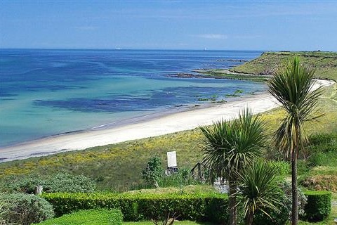 Moran's Bay PostVisitor information · 2.0 mi