What is recorded here
Fairy fort / earthen ringfort in Ballythomas is a fairy fort or earthen ringfort in Ballythomas, County Tipperary, Ireland. Ballythomas holds a possible ringfort because a circular cropmark appears on an aerial photograph above a slightly raised area on a northeast-facing slope. The ground itself shows no visible trace of the site, but its shape, size and position thirty metres north of another possible ringfort support that classification.
Situated on a slightly raised area on a NE-facing slope in tillage, c. 30m N of a levelled possible ringfort (TN015-008). The site is not indicated on the OS 6-inch maps but appears as a circular cropmark on an aerial photograph (CUCAP, BDL 64). There is no visible trace of the site at ground level, however its location, size, shape and proximity to another possible ringfort suggest possible ringfort classification.
The above description is derived from 'The Archaeological Inventory of County Tipperary. Vol. 1 - North Tipperary' compiled by Jean Farrelly and Caimin O'Brien (Dublin: Stationery Office, 2002). In certain instances the entries have been revised and updated in the light of recent research.
Date of upload/revision: 22 September 2008
This remains an important historical record, but the official description says the monument is no longer visible or has been destroyed. The monument record does not grant public access. Check the route and ask the landowner before entering private land.
- What survives
- No visible remains or recorded as destroyed
Places near here
 Fulacht fia in BallythomasFulacht fia · 488 yd
 Megalithic structure in Ashleypark (ardcrony Par.)Megalithic structure · 895 yd
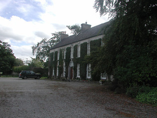 Prospect Housecountry house · 1459 yd
 Carney National Schoolschool · 1494 yd
 Castle (in ruins)Castle, tower house · 1.0 mi
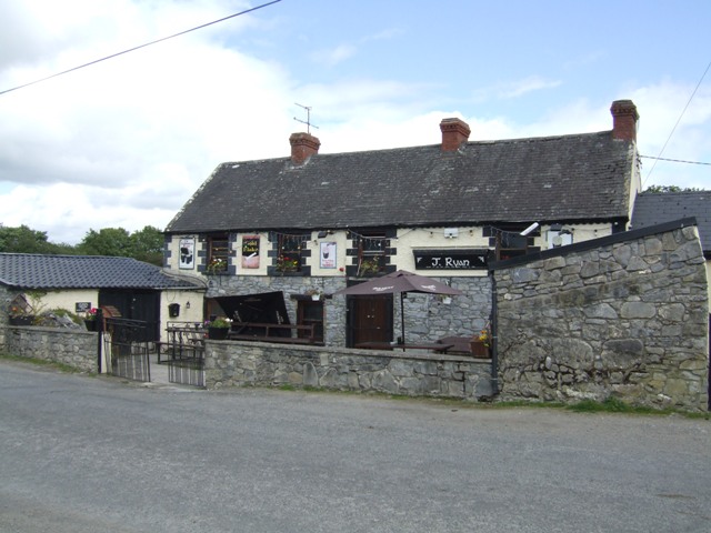 Carney CastleCastle · 1.6 mi
 Knigh HillMountain / peak · 1.6 mi
 Carrickboy WoodForest · 3.1 mi
 James Devaney MemorialMemorial · 3.6 mi
 Goose IslandIslet · 3.8 mi
 Ballycapple WoodForest · 4.0 mi
 Dromineer BayBay · 4.2 mi