
What is recorded here
Situated in a grove of trees on low, uneven outcrop among ruined walls of farm-buildings and paddocks. A chamber-like structure, open to the ENE, 1.7m long, 1.5m in maximum width and 0.8m high, is built against the side of a slight but abrupt rise in the rocky ground. Some 3m in front of its open end there is a transversely set row of large stones. Two stones form the W side of the structure and one long stone the opposite side. The latter curves around to close part of the southern or rear end of the structure the closure of which is completed by drystone-walling. The roof, formed by a number of overlapping slabs, is level with the top of the low rise alongside. The awkard siting of this feature, its location in a disused farmyard complex, and the lack of clear diagnostic features raise uncertainty as to its nature and antiquity. (Manning 1983-4, 45-8).
The above description is derived from 'The Archaeological Inventory of County Tipperary. Vol. 1 - North Tipperary' compiled by Jean Farrelly and Caimin O'Brien (Dublin: Stationery Office, 2002). In certain instances the entries have been revised and updated in the light of recent research.
Date of upload/revision: 22 September 2008
The monument record does not grant public access. Check the route and ask the landowner before entering private land.
- What survives
- Recorded monument
Places near here
 Enclosure in Ashleypark (ardcrony Par.)Enclosure · 426 yd
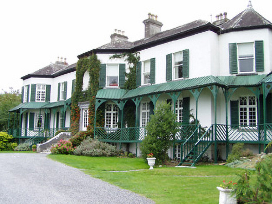 Ashley Park Housecountry house · 746 yd
 Castle (in ruins)Castle, tower house · 903 yd
 IndicatedCrannog · 904 yd
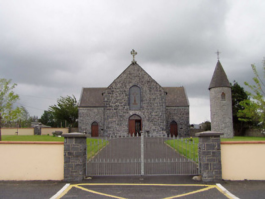 Saint Flannan's Catholic Churchchurch/chapel · 1.1 mi
 Knigh HillMountain / peak · 1.6 mi
 Knigh Castle (in ruins)Castle, tower house · 1.8 mi
 James Devaney MemorialMemorial · 3.1 mi
 Ballycapple WoodForest · 3.6 mi
 Goose IslandIslet · 4.0 mi
 Dromineer BayBay · 4.4 mi
 Old BarracksHeritage attraction · 4.5 mi
Other information
Photo: Credit not shown in the picture search · Rights wording not checked; contact us if this picture should be removed