What is recorded here
Magic is not required to explain why people avoided the site. The earth itself warned them: a shallow dish of soil on open ground, marked by a faint bank and a narrow trench, with a modern house pressed against one edge. The shape may have been human, but it refused to explain itself. That silence is stronger than invention.
On a hilltop in pasture. Listed as 'Enclosure' in the RMP (1996). This subcircular rath (33.2m N-S; 30.5m E-W) is defined E-S-NW by a low, earthen bank (int. H 0.15; ext. H 0.85m; Wth 1.8m) and a flat-bottomed outer fosse (Wth 1.1-1.8m), with traces of a second, low, outer bank (int. H 0.25m; ext. H 0.15m; Wth 2m) visible E-SSE. A dip in the enclosing bank at E with a corresponding shallower portion of fosse outside may indicate the location of an original, causewayed entrance. The interior slopes gently to the SE. A modern house, driveway and outbuilding abut the monument NNW-N-ENE.
See attachment: CL008-084----_01.jpg Monument viewed from west
Summary by: Gearóid Conroy and Conn Herriott
Date of upload: 24 November 2022
The monument record does not grant public access. Check the route and ask the landowner before entering private land.
- What survives
- Recorded monument
Places near here
 Ballyteigue Nature ReserveNature reserve · 590 yd
 LissateeaunFairy fort / earthen ringfort · 1507 yd
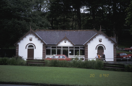 Lisdoonvarna Spabuilding misc · 1739 yd
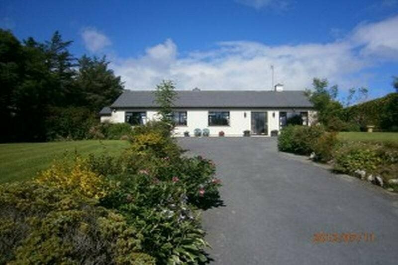 Enclosure in GowlaunEnclosure · 1751 yd
 Site of Lisdoonvarna CastleCastle, tower house · 1.0 mi
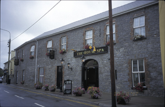 Royal Spa Hotelhotel · 1.1 mi
 Site of Fanta Cas.Castle, tower house · 1.6 mi
 Poll CragreaghCave · 2.6 mi
 High CrossHeritage attraction · 2.9 mi
 ( Polldonough ?)Cave · 2.9 mi
 Burren Centre KilfenoraVisitor information · 3.0 mi
 Cahermacnaghten CashelHeritage attraction · 3.3 mi