What is recorded here
Situated on top of an E-W ridge in an upland area. A natural rise of ground scarped to form a large round-topped, slightly flattened mound (diam. 31m N-S; 38m E-W). The mound is defined by a scarp (H 3.5m at W) from S through W to N with a possible entrance gap at E where the slope of the ground is level with the interior.
The above description is derived from 'The Archaeological Inventory of County Tipperary. Vol. 1 - North Tipperary' compiled by Jean Farrelly and Caimin O'Brien (Dublin: Stationery Office, 2002). In certain instances the entries have been revised and updated in the light of recent research.
Date of upload/revision: 22 September 2008
A fairy fort / earthen ringfort in Ballysteena is a likely early-medieval ringfort, characterized by a large, flattened earthen mound with a scarp on the southern side. Local tradition associates such sites with fairy lore, reflecting their perceived otherworldly significance in Irish folklore.
The monument record does not grant public access. Check the route and ask the landowner before entering private land.
- What survives
- Recorded monument
Places near here
 Enclosure in KnockanacreeEnclosure · 603 yd
 Knockanacree WoodForest · 675 yd
 Enclosure in OxparkEnclosure · 904 yd
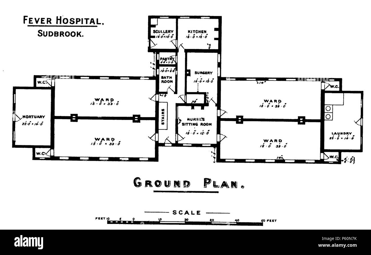 Fever HospitalRuins · 942 yd
 Castle in ruinsCastle, unclassified · 1107 yd
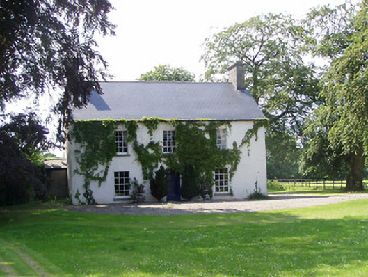 Mullenkeagh Househouse · 1131 yd
 MacDonagh HouseMemorial · 1264 yd
 Thomas MacDonagh Heritage CentreMuseum · 1306 yd
 CastleCastle, tower house · 1320 yd
 Ballycapple WoodForest · 2.9 mi
 James Devaney MemorialMemorial · 5.4 mi
 Gibbet HillMountain / peak · 9.4 mi