What is recorded here
Fairy fort / earthen ringfort in Ballysteen is a possible bivallate ringfort in County Clare, Ireland, with an outer diameter near 65m. It stands beside a burial ground and holy well, marking the area as a place of life, death and remembrance.
A possible bivallate ringfort defined by a bank or scarp (diam. c. 28m), a fosse (Wth c. 4m) and an external bank (Wth c. 7m) best preserved at SW (max. diam. c. 65m). Visible on OSi MapGenie orthophotography (2013-2018). A burial ground (CL014-021001-) and holy well (CL014-021002-) lie c. 270m to the NW.
Compiled by: Mary Tunney
Date of upload: 18 November 2025
A fairy fort / earthen ringfort in Ballysteen is a likely early-medieval agricultural or defensive site, characterized by a bivallate structure with a central bank, fosse, and external bank. Local folklore associates such sites with the supernatural, often referring to them as dwellings of the fairies or ancient druidic activity.
The monument record does not grant public access. Check the route and ask the landowner before entering private land.
- What survives
- Recorded monument
Places near here
 Saint Bridget's Wellholy well · 321 yd
 St Bridgets WellHoly well · 327 yd
 Bridget's Well;St Bridget's WellSpring · 327 yd
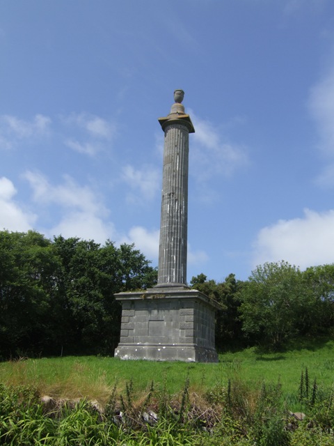 O’Briens MonumentMonument · 339 yd
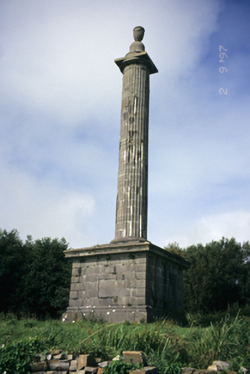 O'Brien's Monumentmonument · 342 yd
 John P. Holland CentreMuseum · 1.3 mi
 CastleCastle, unclassified · 1.4 mi
 Cliffs of MoherCliff · 1.4 mi
 Liscannor Castle (in Ruins)Castle, tower house · 1.5 mi
 Cliffs of Moher Visitor CentreVisitor information · 1.5 mi
 Sea StackMountain / peak · 1.7 mi
 Sightseeing Cliffs of Moher SouthViewpoint · 2.1 mi