What is recorded here
Fairy forts are human places misnamed by wonder. In Ballyspellan, a stoney earthen bank still surrounds a small circular area on a steep grassy slope, with a narrow southern entrance and the faint shadow of an inner building. The name suggests mischief, but the shape suggests people: a household, a boundary, a life led under open sky.
On a steep slope overlooking a valley and a little below the crest of the hillside, in rolling upland grassland. It is overlooked by higher ground to the E but otherwise there are exceptional views to the N, S and W. It is depicted on the 1st (1839) ed. OS 6-inch map and although not on the 1900 revision of this map, it is depicted on the 1900 ed. of the 25-inch OS 6-inch map. A roughly circular area (int. dims. 23m N-S; 24m E-W) enclosed by a stoney earthen bank (Wth 2-3m; int. H c. 0.6m; ext. H c. 1.3m) and external fosse (Wth 2m; D c. 0.5m). There is an entrance (Wth c. 1.5m) in the S quadrant. There are the slight remains of a rectangular building (KK008-103002-) in the N half of the interior. A N-S stone walled field boundary runs across the E quadrant of the monument.
Compiled by: Jean Farrelly
Date of upload: 17 January 2018
The monument record does not grant public access. Check the route and ask the landowner before entering private land.
- What survives
- Recorded monument
Places near here
 CastleCastle, tower house · 715 yd
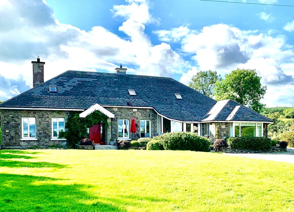 Enclosure in SpahillEnclosure · 1211 yd
 Enclosure in Ballycuddihy (galmoy By.))Enclosure · 1223 yd
 Clomantagh HillMountain / peak · 1694 yd
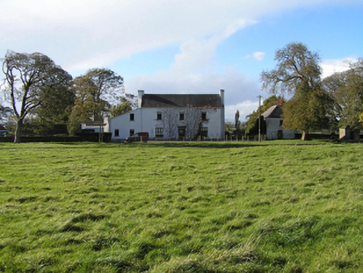 Ballyspellan Housefarm house · 1.0 mi
 Temple DonaghmoreChurch · 1.2 mi
 John HelyMemorial · 1.7 mi
 DelaneyMemorial · 1.8 mi
 Killoshulan Castle (ruin)Castle · 2.3 mi
 Street fieldArchaeological place · 2.3 mi
 Kildrinagh WoodForest · 4.3 mi
 Anker's IslandIsland · 7.7 mi