What is recorded here
Fairy fort in Ballyskerdane, County Cork: a levelled earthen ringfort, roughly 31 by 35 metres, with a faint half-metre rise and a gap to the north-northwest. Local information says it was levelled before 1953, so much of its shape may have been lost to ploughs and pasture work. What remains is a shallow circular shadow on a south-facing slope, large enough to have held lives, fires and seasons before it became a field mark.
In pasture, on S-facing slope. Levelled; roughly circular area (31m N-S; 35m E-W) defined by low rise (H 0.5m); gap to NNW. Interior level. According to local information, levelled prior to c. 1953.
The above description is derived from the published 'Archaeological Inventory of County Cork. Volume 2: East and South Cork' (Dublin: Stationery Office, 1994). In certain instances the entries have been revised and updated in the light of recent research.
Date of upload/revision: 14 January 2009
The monument record does not grant public access. Check the route and ask the landowner before entering private land.
- What survives
- Recorded monument
Places near here
 Fulacht fia in Knockboy (barrymore By.)Fulacht fia · 805 yd
 Anomalous stone group in BallynabortaghAnomalous stone group · 999 yd
 Castle (Site of)Castle, unclassified · 1142 yd
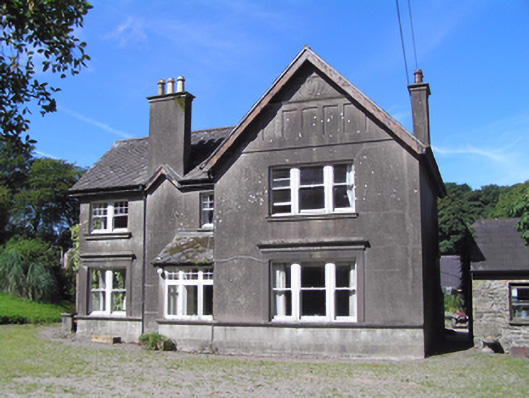 Ballindeenisk Househouse · 1.1 mi
 Ardnabricka Bridgebridge · 1.4 mi
 Castle (in Ruins)Castle, tower house · 1.9 mi
 Graveyard in GlenvilleGraveyard · 3.8 mi
 Graveyard in Killuntin NorthGraveyard · 4.1 mi
 Murphy's RockViewpoint · 4.6 mi
 Carberrytown WoodWood · 5.2 mi
 Clogheenmilcon Nature Reserve Killeens EndPicnic place · 6.0 mi
:BlarneyCastle,KinsaleCorkCityShoreTour-KlookIndia.jpg) Clogheenmilcon SanctuaryNature reserve · 6.4 mi
Clogheenmilcon SanctuaryNature reserve · 6.4 mi