What is recorded here
Thirty-eight metres of oval pasture hold a low earth-and-stone bank, partially built from the limestone outcropping beneath. The seam cuts across the middle like a knife through a living body, and the western side has grown so thick with briars that the fort is half forgotten. What remains is a boundary drawn in soil and stone, waiting for someone to walk the gap on the eastern side and remember what the land was holding when the people left.
In rough pasture, atop hill, in area of outcropping limestone. Oval area (38m N-S; 33m E-W) enclosed by earth-and-stone bank (int. H 0.3m; ext. H 0.7m). Bank, best preserved SW->E, partially incorporates bedrock outcrops elsewhere. It is covered by briars and bushes W->N. Possible entrance (Wth 7m) E->SSE where bank lowers. Seam of limestone bedrock (H c. 0.6m), on rough N-S axis, cuts across interior as chord c. 9m from W edge. Otherwise interior level and under rough pasture.
Compiled by: Denis Power
Date of upload: 26 August 2011
The monument record does not grant public access. Check the route and ask the landowner before entering private land.
- What survives
- Recorded monument
Places near here
 Carriganea CastleCastle · 536 yd
 TobermurryHoly well · 1096 yd
 Fulacht fia in TobermurryFulacht fia · 1356 yd
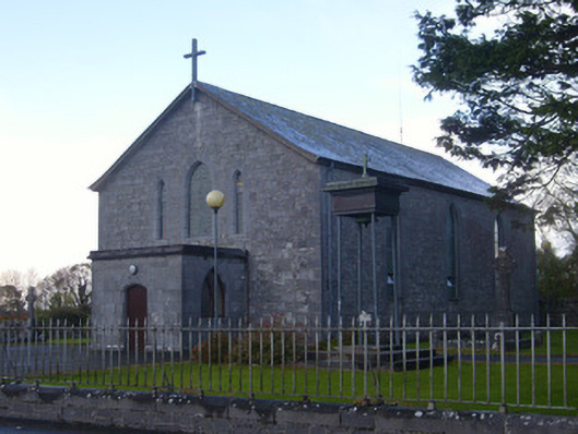 Catholic Church of Saint John the Baptistchurch/chapel · 1436 yd
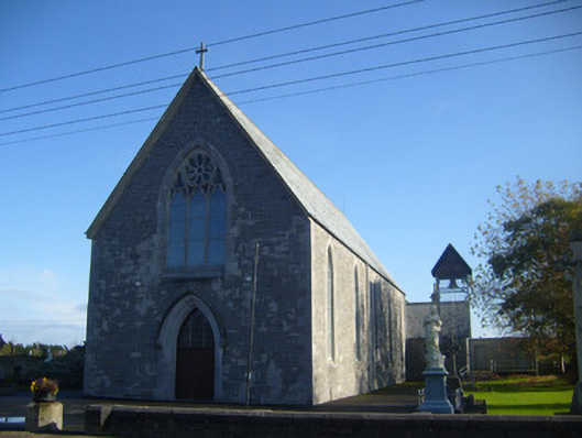 Saint Mary's Catholic Churchchurch/chapel · 1484 yd
 Derreen Castle (in ruins)Castle, tower house · 1.0 mi
 Stonehall Visitor FarmHeritage attraction · 1.6 mi
 European YewEuropean Yew · 1.8 mi
 Celtic Park and GardensHeritage attraction · 2.0 mi
 Ringmoylan PierVisitor information · 2.7 mi
 Mellon PointHeadland · 3.3 mi
 Horse RockNamed rock · 3.3 mi